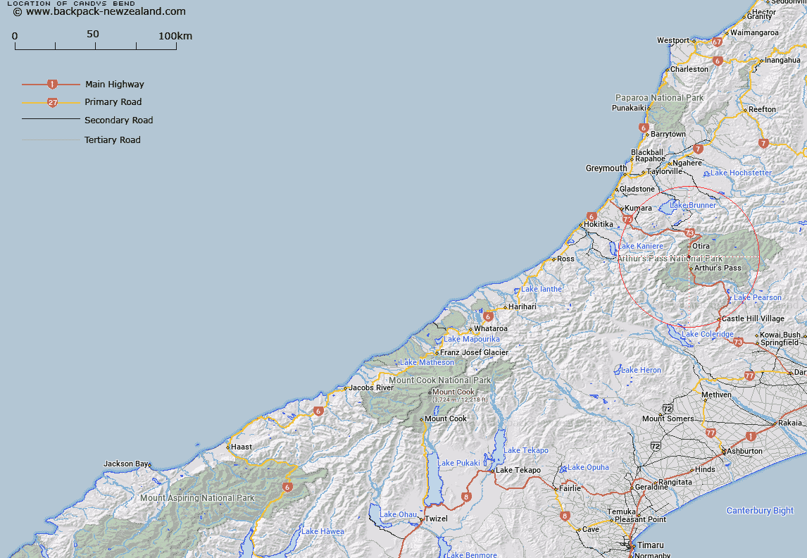
Map showing location of Candys Bend
LINZ description: E of State Highway 73, 6 km N of Arthurs Pass township
Latitude: -42.881756
Longitude: 171.554985
Northing: 5251303.1
Easting: 1481992.7
Land District: Westland
Feat Type: Bend
Latitude: -42.881756
Longitude: 171.554985
Northing: 5251303.1
Easting: 1481992.7
Land District: Westland
Feat Type: Bend

Scroll down to see a more detailed road map and below that a topographical map showing the location of Candys Bend. The road map has been supplied by openstreetmap and the topographical map of Candys Bend has been supplied by Land Information New Zealand (LINZ).
Yes you can use the top static map for you school/university project or personal website with a link back. Contact me for any commercial use.
[ A ] [ B ] [ C ] [ D ] [ E ] [ F ] [ G ] [ H ] [ I ] [ J ] [ K ] [ L ] [ M ] [ N ] [ O ] [ P ] [ Q ] [ R ] [ S ] [ T ] [ U ] [ V ] [ W ] [ X ] [ Y ] [ Z ]