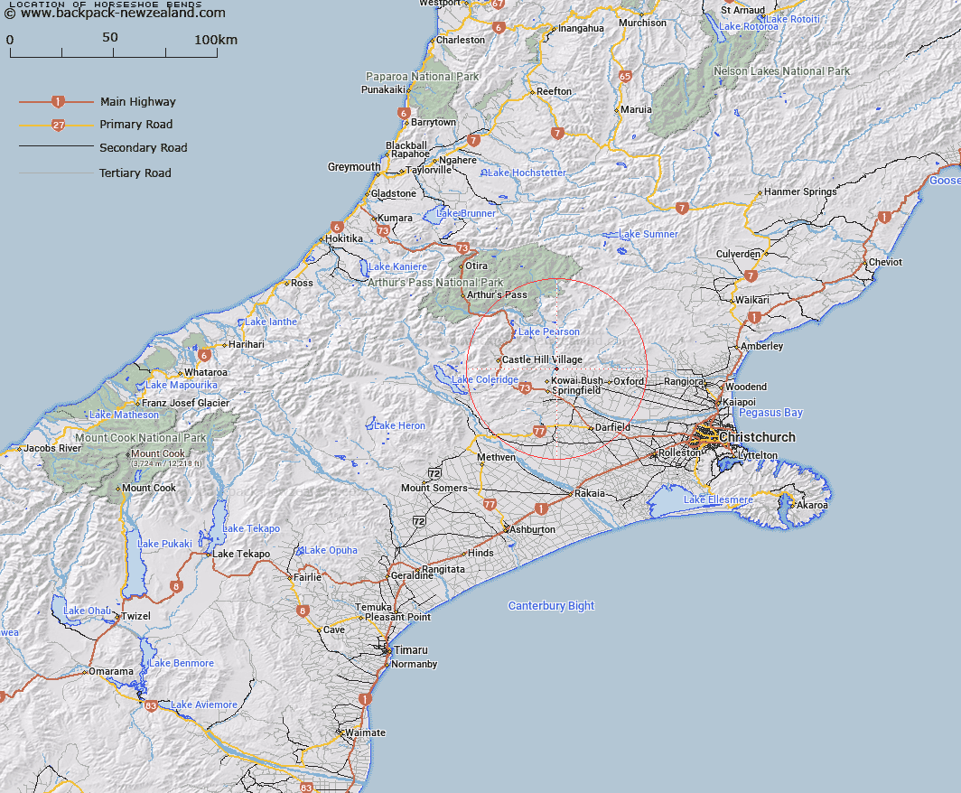
Map showing location of Horseshoe Bends
LINZ description: Bends in the river in the Waimakariri Gorge between where Fosters Creek and Coal Creek enter the Waimakariri River. Kowai Survey District.
Latitude: -43.243011
Longitude: 171.964863
Northing: 5211678.6
Easting: 1515960.7
Land District: Canterbury
Feat Type: Bend
Latitude: -43.243011
Longitude: 171.964863
Northing: 5211678.6
Easting: 1515960.7
Land District: Canterbury
Feat Type: Bend

Scroll down to see a more detailed road map and below that a topographical map showing the location of Horseshoe Bends. The road map has been supplied by openstreetmap and the topographical map of Horseshoe Bends has been supplied by Land Information New Zealand (LINZ).
Yes you can use the top static map for you school/university project or personal website with a link back. Contact me for any commercial use.
[ A ] [ B ] [ C ] [ D ] [ E ] [ F ] [ G ] [ H ] [ I ] [ J ] [ K ] [ L ] [ M ] [ N ] [ O ] [ P ] [ Q ] [ R ] [ S ] [ T ] [ U ] [ V ] [ W ] [ X ] [ Y ] [ Z ]