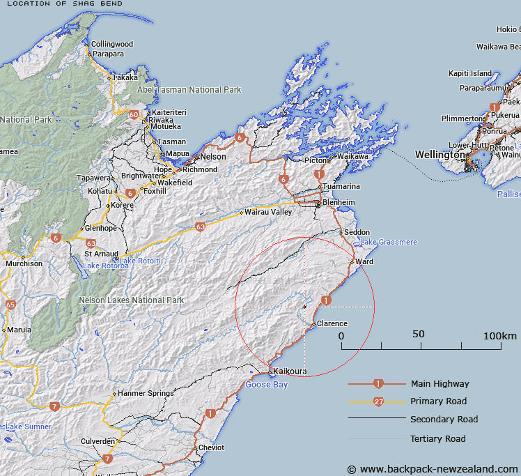
Map showing location of Shag Bend
LINZ description: Bend on the Clarence River east of Razor Back.
Latitude: -42.062963
Longitude: 173.876901
Northing: 5342861
Easting: 1672551.5
Land District: Marlborough
Feat Type: Bend
Latitude: -42.062963
Longitude: 173.876901
Northing: 5342861
Easting: 1672551.5
Land District: Marlborough
Feat Type: Bend

Scroll down to see a more detailed road map and below that a topographical map showing the location of Shag Bend. The road map has been supplied by openstreetmap and the topographical map of Shag Bend has been supplied by Land Information New Zealand (LINZ).
Yes you can use the top static map for you school/university project or personal website with a link back. Contact me for any commercial use.
[ A ] [ B ] [ C ] [ D ] [ E ] [ F ] [ G ] [ H ] [ I ] [ J ] [ K ] [ L ] [ M ] [ N ] [ O ] [ P ] [ Q ] [ R ] [ S ] [ T ] [ U ] [ V ] [ W ] [ X ] [ Y ] [ Z ]