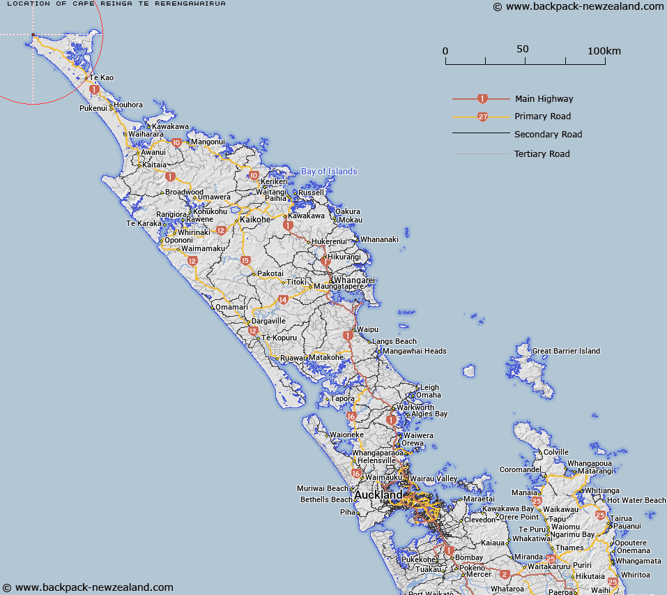
Map showing location of Cape Reinga (Te Rerengawairua)
LINZ description: A coastal feature 7km northeast of Cape Maria van Diemen. Feature shown on: NZMS260 M02 N02; Infomap 346-01 Te Ika a Māui Edition 1 1995; NZTopo50-AT24 706912
Latitude: -34.420948
Longitude: 172.679743
Northing: 6191122.1
Easting: 1570571.6
Land District: North Auckland
Feat Type: Cape
Latitude: -34.420948
Longitude: 172.679743
Northing: 6191122.1
Easting: 1570571.6
Land District: North Auckland
Feat Type: Cape

Scroll down to see a more detailed road map and below that a topographical map showing the location of Cape Reinga (Te Rerengawairua). The road map has been supplied by openstreetmap and the topographical map of Cape Reinga (Te Rerengawairua) has been supplied by Land Information New Zealand (LINZ).
Yes you can use the top static map for you school/university project or personal website with a link back. Contact me for any commercial use.
[ A ] [ B ] [ C ] [ D ] [ E ] [ F ] [ G ] [ H ] [ I ] [ J ] [ K ] [ L ] [ M ] [ N ] [ O ] [ P ] [ Q ] [ R ] [ S ] [ T ] [ U ] [ V ] [ W ] [ X ] [ Y ] [ Z ]