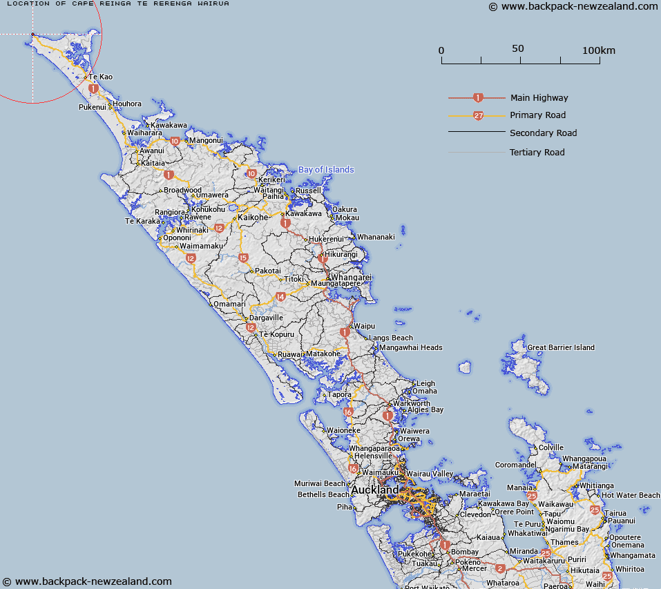
Map showing location of Cape Reinga / Te Rerenga Wairua
LINZ description: A coastal feature 7km northeast of Cape Maria van Diemen. Feature shown on: NZMS260 M02 N02; Infomap 346-01 Te Ika a Māui Edition 1 1995; NZTopo50-AT24 706912
Latitude: -34.420948
Longitude: 172.679743
Northing: 6191122.1
Easting: 1570571.6
Land District: North Auckland
Feat Type: Cape
Latitude: -34.420948
Longitude: 172.679743
Northing: 6191122.1
Easting: 1570571.6
Land District: North Auckland
Feat Type: Cape

Scroll down to see a more detailed road map and below that a topographical map showing the location of Cape Reinga / Te Rerenga Wairua. The road map has been supplied by openstreetmap and the topographical map of Cape Reinga / Te Rerenga Wairua has been supplied by Land Information New Zealand (LINZ).
Yes you can use the top static map for you school/university project or personal website with a link back. Contact me for any commercial use.
[ A ] [ B ] [ C ] [ D ] [ E ] [ F ] [ G ] [ H ] [ I ] [ J ] [ K ] [ L ] [ M ] [ N ] [ O ] [ P ] [ Q ] [ R ] [ S ] [ T ] [ U ] [ V ] [ W ] [ X ] [ Y ] [ Z ]