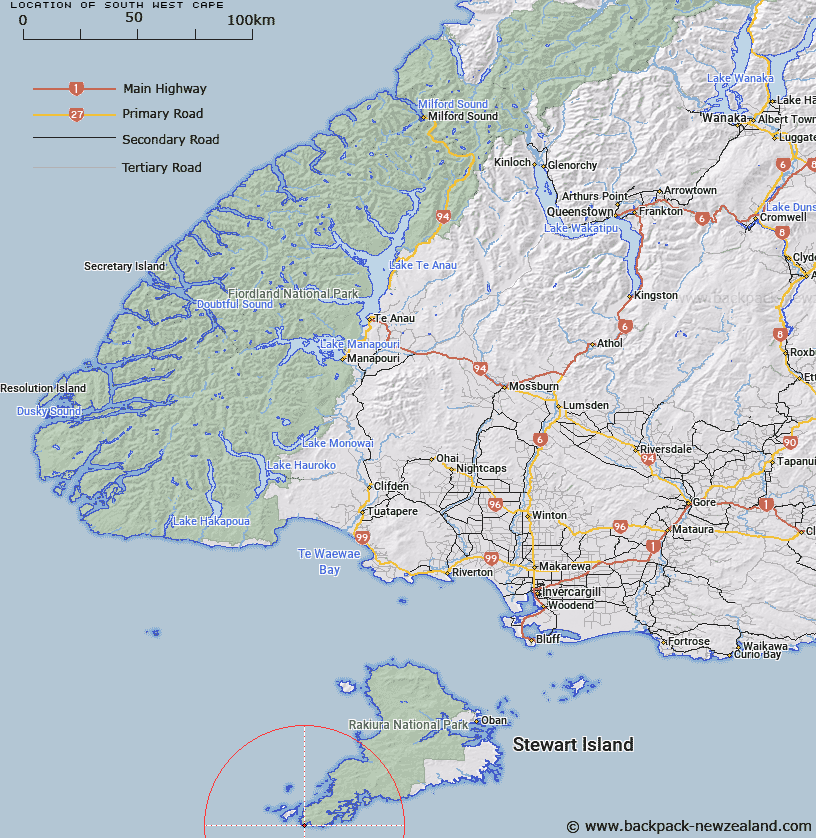
Map showing location of South West Cape
LINZ description: Feature shown on: NZMS260-D50 912109; NZTopo50-CK08 816485;
Latitude: -47.283181
Longitude: 167.466603
Northing: 4748500
Easting: 1181600
Land District: Southland
Feat Type: Cape
Latitude: -47.283181
Longitude: 167.466603
Northing: 4748500
Easting: 1181600
Land District: Southland
Feat Type: Cape

Scroll down to see a more detailed road map and below that a topographical map showing the location of South West Cape. The road map has been supplied by openstreetmap and the topographical map of South West Cape has been supplied by Land Information New Zealand (LINZ).
Yes you can use the top static map for you school/university project or personal website with a link back. Contact me for any commercial use.
[ A ] [ B ] [ C ] [ D ] [ E ] [ F ] [ G ] [ H ] [ I ] [ J ] [ K ] [ L ] [ M ] [ N ] [ O ] [ P ] [ Q ] [ R ] [ S ] [ T ] [ U ] [ V ] [ W ] [ X ] [ Y ] [ Z ]