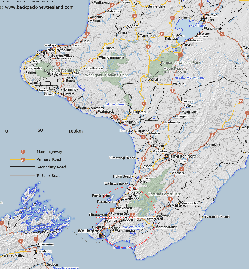
Map showing location of Birchville
LINZ description: Suburb area in Upper Hutt centred on the bridge at the junction of the Hutt and Akatarawa Rivers. Clarification of correct name instead of Parkdale, Rivervale, Akatarawa and Gillespies Road.
Latitude: -41.096187
Longitude: 175.100733
Northing: 5448438.8
Easting: 1776423.3
Land District: Wellington
Feat Type: Suburb
Latitude: -41.096187
Longitude: 175.100733
Northing: 5448438.8
Easting: 1776423.3
Land District: Wellington
Feat Type: Suburb

Scroll down to see a more detailed road map and below that a topographical map showing the location of Birchville. The road map has been supplied by openstreetmap and the topographical map of Birchville has been supplied by Land Information New Zealand (LINZ).
Yes you can use the top static map for you school/university project or personal website with a link back. Contact me for any commercial use.
[ A ] [ B ] [ C ] [ D ] [ E ] [ F ] [ G ] [ H ] [ I ] [ J ] [ K ] [ L ] [ M ] [ N ] [ O ] [ P ] [ Q ] [ R ] [ S ] [ T ] [ U ] [ V ] [ W ] [ X ] [ Y ] [ Z ]