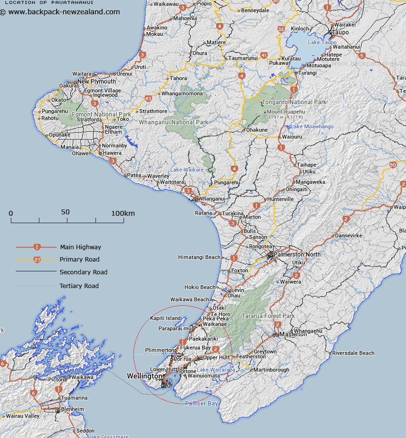
Map showing location of Pauatahanui
LINZ description: Locality situated at the Eastern end of the Eastern arm of Porirua Harbour. Paekakariki & Belmont Survey Districts. NZTopo50 BP32-Paraparaumu, GR 614 485.
Latitude: -41.099259
Longitude: 174.924269
Northing: 5448440
Easting: 1761595.2
Land District: Wellington
Feat Type: Suburb
Latitude: -41.099259
Longitude: 174.924269
Northing: 5448440
Easting: 1761595.2
Land District: Wellington
Feat Type: Suburb

Scroll down to see a more detailed road map and below that a topographical map showing the location of Pauatahanui. The road map has been supplied by openstreetmap and the topographical map of Pauatahanui has been supplied by Land Information New Zealand (LINZ).
Yes you can use the top static map for you school/university project or personal website with a link back. Contact me for any commercial use.
[ A ] [ B ] [ C ] [ D ] [ E ] [ F ] [ G ] [ H ] [ I ] [ J ] [ K ] [ L ] [ M ] [ N ] [ O ] [ P ] [ Q ] [ R ] [ S ] [ T ] [ U ] [ V ] [ W ] [ X ] [ Y ] [ Z ]