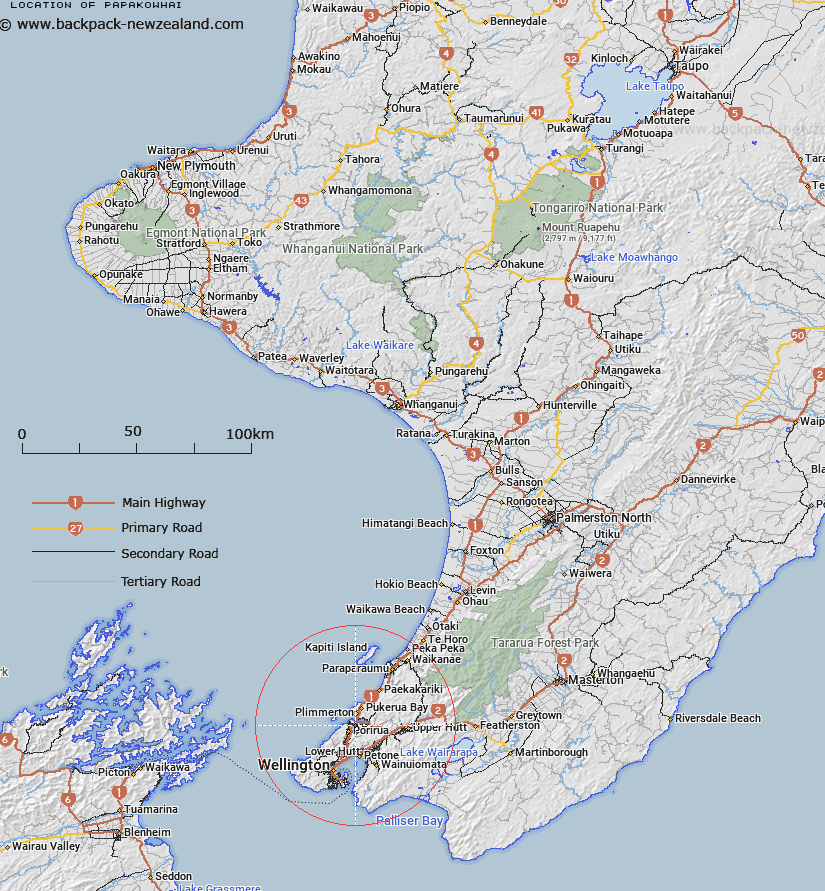
Map showing location of Papakowhai
LINZ description: NZTopo50 BP31-Porirua, GR 558 462 and NZTopo50 BP32-Paraparaumu, GR 564 467.
Latitude: -41.115233
Longitude: 174.862298
Northing: 5446779.7
Easting: 1756352.8
Land District: Wellington
Feat Type: Suburb
Latitude: -41.115233
Longitude: 174.862298
Northing: 5446779.7
Easting: 1756352.8
Land District: Wellington
Feat Type: Suburb

Scroll down to see a more detailed road map and below that a topographical map showing the location of Papakowhai. The road map has been supplied by openstreetmap and the topographical map of Papakowhai has been supplied by Land Information New Zealand (LINZ).
Yes you can use the top static map for you school/university project or personal website with a link back. Contact me for any commercial use.
[ A ] [ B ] [ C ] [ D ] [ E ] [ F ] [ G ] [ H ] [ I ] [ J ] [ K ] [ L ] [ M ] [ N ] [ O ] [ P ] [ Q ] [ R ] [ S ] [ T ] [ U ] [ V ] [ W ] [ X ] [ Y ] [ Z ]