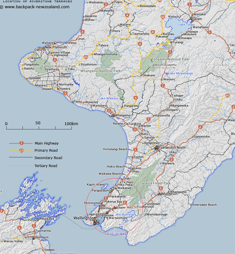
Map showing location of Riverstone Terraces
LINZ description: Suburb of Upper Hutt, located north of the Hutt River, between Moonshine Road and Whakatikei River.
Latitude: -41.112914
Longitude: 175.041442
Northing: 5446700
Easting: 1771400
Land District: Wellington
Feat Type: Suburb
Latitude: -41.112914
Longitude: 175.041442
Northing: 5446700
Easting: 1771400
Land District: Wellington
Feat Type: Suburb

Scroll down to see a more detailed road map and below that a topographical map showing the location of Riverstone Terraces. The road map has been supplied by openstreetmap and the topographical map of Riverstone Terraces has been supplied by Land Information New Zealand (LINZ).
Yes you can use the top static map for you school/university project or personal website with a link back. Contact me for any commercial use.
[ A ] [ B ] [ C ] [ D ] [ E ] [ F ] [ G ] [ H ] [ I ] [ J ] [ K ] [ L ] [ M ] [ N ] [ O ] [ P ] [ Q ] [ R ] [ S ] [ T ] [ U ] [ V ] [ W ] [ X ] [ Y ] [ Z ]