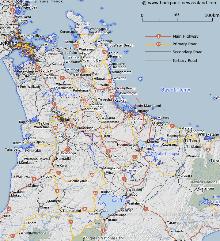
Map showing location of Te Tuhi Track
LINZ description: For the track over the Kaimai Range from Whakamarama to Okauia
Latitude: -37.756254
Longitude: 175.913231
Northing: 5817231.6
Easting: 1856646
Land District: South Auckland
Feat Type: Track
Latitude: -37.756254
Longitude: 175.913231
Northing: 5817231.6
Easting: 1856646
Land District: South Auckland
Feat Type: Track

Scroll down to see a more detailed road map and below that a topographical map showing the location of Te Tuhi Track. The road map has been supplied by openstreetmap and the topographical map of Te Tuhi Track has been supplied by Land Information New Zealand (LINZ).
Yes you can use the top static map for you school/university project or personal website with a link back. Contact me for any commercial use.
[ A ] [ B ] [ C ] [ D ] [ E ] [ F ] [ G ] [ H ] [ I ] [ J ] [ K ] [ L ] [ M ] [ N ] [ O ] [ P ] [ Q ] [ R ] [ S ] [ T ] [ U ] [ V ] [ W ] [ X ] [ Y ] [ Z ]