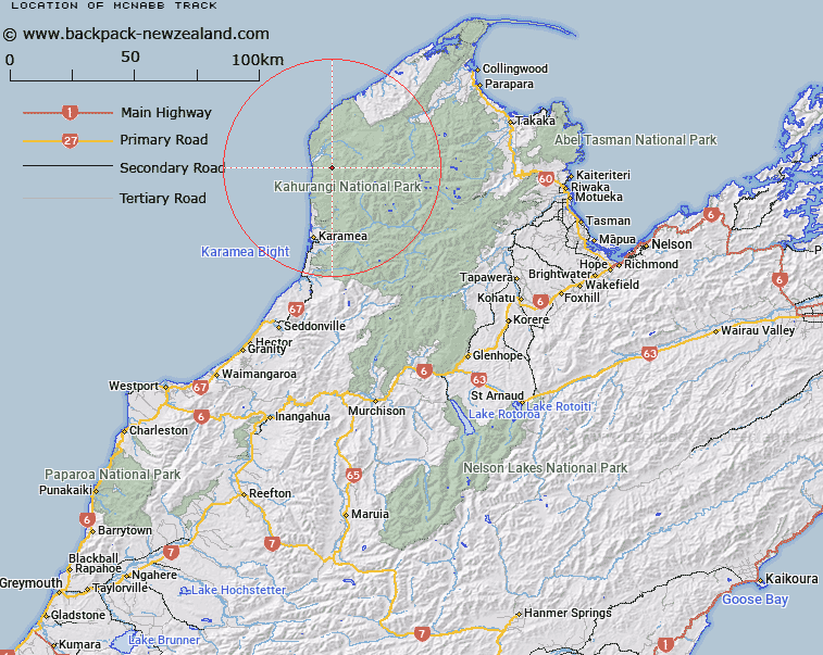
Map showing location of McNabb Track
LINZ description: Track Commencing at Pitt Creek near the mouth of the Heaphy River then up to Mount Barr across the Gunner Downs to Lake Aorere, and up to Centre Mountain. Whakapoai & Gouland Survey Districts.
Latitude: -41.008629
Longitude: 172.170929
Northing: 5459954
Easting: 1530282.6
Land District: Nelson
Feat Type: Track
Latitude: -41.008629
Longitude: 172.170929
Northing: 5459954
Easting: 1530282.6
Land District: Nelson
Feat Type: Track

Scroll down to see a more detailed road map and below that a topographical map showing the location of McNabb Track. The road map has been supplied by openstreetmap and the topographical map of McNabb Track has been supplied by Land Information New Zealand (LINZ).
Yes you can use the top static map for you school/university project or personal website with a link back. Contact me for any commercial use.
[ A ] [ B ] [ C ] [ D ] [ E ] [ F ] [ G ] [ H ] [ I ] [ J ] [ K ] [ L ] [ M ] [ N ] [ O ] [ P ] [ Q ] [ R ] [ S ] [ T ] [ U ] [ V ] [ W ] [ X ] [ Y ] [ Z ]