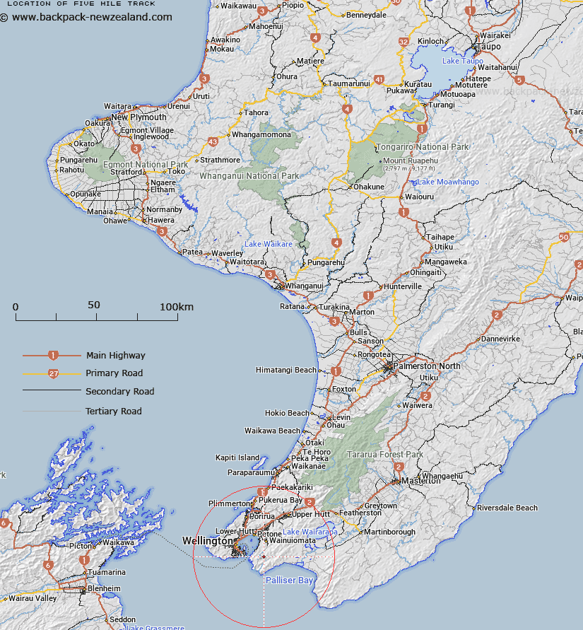
Map showing location of Five Mile Track
LINZ description: Along Catchpool Stream
Latitude: -41.343573
Longitude: 174.9327
Northing: 5421300
Easting: 1761700
Land District: Wellington
Feat Type: Track
Latitude: -41.343573
Longitude: 174.9327
Northing: 5421300
Easting: 1761700
Land District: Wellington
Feat Type: Track

Scroll down to see a more detailed road map and below that a topographical map showing the location of Five Mile Track. The road map has been supplied by openstreetmap and the topographical map of Five Mile Track has been supplied by Land Information New Zealand (LINZ).
Yes you can use the top static map for you school/university project or personal website with a link back. Contact me for any commercial use.
[ A ] [ B ] [ C ] [ D ] [ E ] [ F ] [ G ] [ H ] [ I ] [ J ] [ K ] [ L ] [ M ] [ N ] [ O ] [ P ] [ Q ] [ R ] [ S ] [ T ] [ U ] [ V ] [ W ] [ X ] [ Y ] [ Z ]