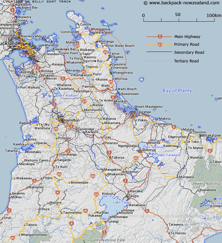
Map showing location of Billy Goat Track
LINZ description: Track in the valley of the Atuatumoe Stream, Coromandel Forest Park.
Latitude: -37.067357
Longitude: 175.678096
Northing: 5894300
Easting: 1838100
Land District: South Auckland
Feat Type: Track
Latitude: -37.067357
Longitude: 175.678096
Northing: 5894300
Easting: 1838100
Land District: South Auckland
Feat Type: Track

Scroll down to see a more detailed road map and below that a topographical map showing the location of Billy Goat Track. The road map has been supplied by openstreetmap and the topographical map of Billy Goat Track has been supplied by Land Information New Zealand (LINZ).
Yes you can use the top static map for you school/university project or personal website with a link back. Contact me for any commercial use.
[ A ] [ B ] [ C ] [ D ] [ E ] [ F ] [ G ] [ H ] [ I ] [ J ] [ K ] [ L ] [ M ] [ N ] [ O ] [ P ] [ Q ] [ R ] [ S ] [ T ] [ U ] [ V ] [ W ] [ X ] [ Y ] [ Z ]