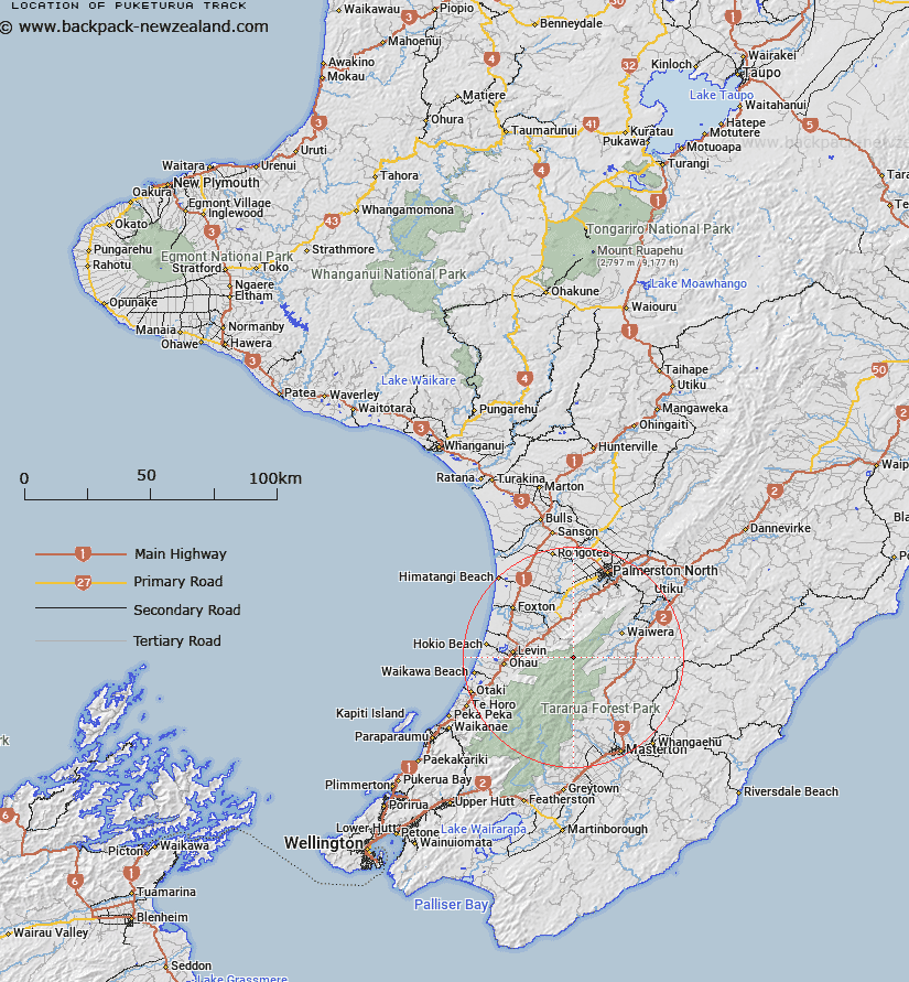
Map showing location of Puketurua Track
LINZ description: Track on the Tararua Range, from the Mangahao Upper No. 1 Reservoir to Ngapuketurua Trig.
Latitude: -40.636898
Longitude: 175.49538
Northing: 5498555.7
Easting: 1811023
Land District: Wellington
Feat Type: Track
Latitude: -40.636898
Longitude: 175.49538
Northing: 5498555.7
Easting: 1811023
Land District: Wellington
Feat Type: Track

Scroll down to see a more detailed road map and below that a topographical map showing the location of Puketurua Track. The road map has been supplied by openstreetmap and the topographical map of Puketurua Track has been supplied by Land Information New Zealand (LINZ).
Yes you can use the top static map for you school/university project or personal website with a link back. Contact me for any commercial use.
[ A ] [ B ] [ C ] [ D ] [ E ] [ F ] [ G ] [ H ] [ I ] [ J ] [ K ] [ L ] [ M ] [ N ] [ O ] [ P ] [ Q ] [ R ] [ S ] [ T ] [ U ] [ V ] [ W ] [ X ] [ Y ] [ Z ]