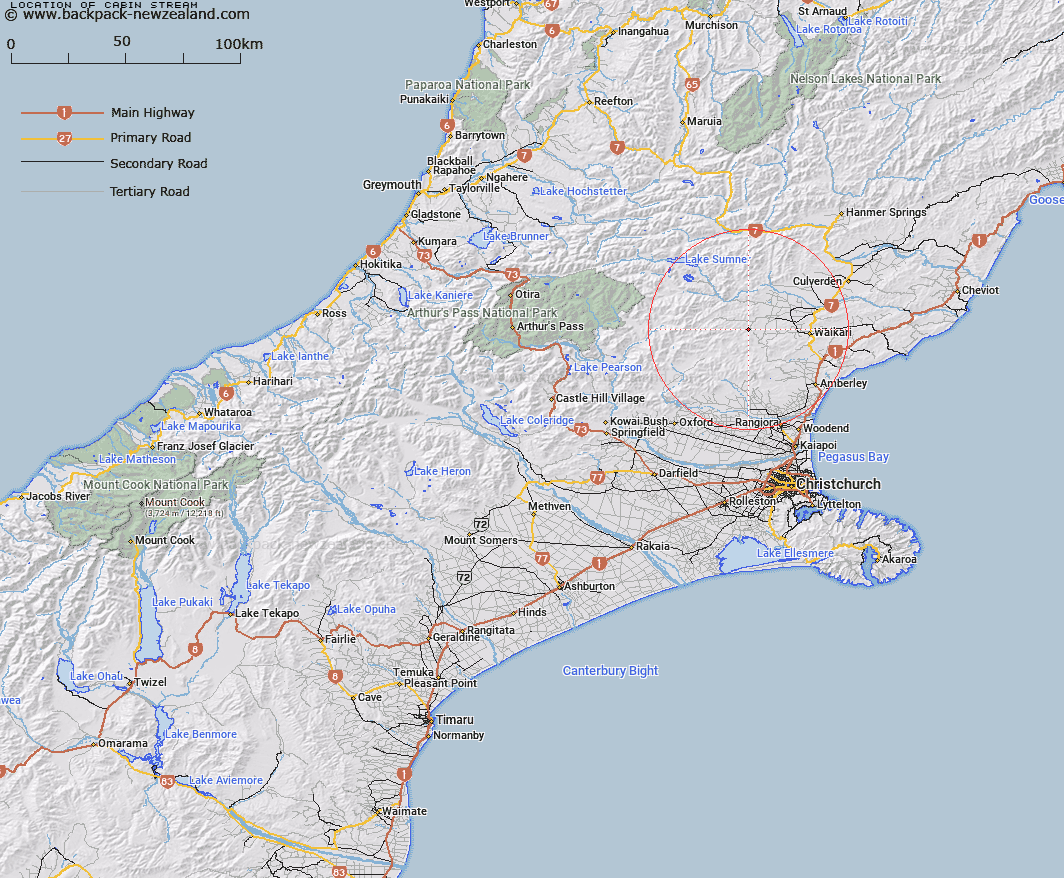
Map showing location of Cabin Stream


LINZ description: Left bank tributary of Tommys Stream rising North-east of the Double Tops, flowing South-eastward, and joining Tommys Stream at tommys Cabin, 3.5km North-west of Mount Arden homestead. Block VIII Okuku Survey District.
Latitude: -42.9523
Longitude: 172.470884
Northing: 5244346.4
Easting: 1556839.3
Land District: Canterbury
Feat Type: Stream


Scroll down to see a more detailed road map and below that a topographical map showing the location of Cabin Stream. The road map has been supplied by openstreetmap and the topographical map of Cabin Stream has been supplied by Land Information New Zealand (LINZ).

Yes you can use the top static map for you school/university project or personal website with a link back. Contact me for any commercial use.

Cabin Stream Map New Zealand


New Zealand places in our database
[ A ] [ B ] [ C ] [ D ] [ E ] [ F ] [ G ] [ H ] [ I ] [ J ] [ K ] [ L ] [ M ] [ N ] [ O ] [ P ] [ Q ] [ R ] [ S ] [ T ] [ U ] [ V ] [ W ] [ X ] [ Y ] [ Z ]


Closest 20 Streams to Cabin Stream

Tommys Stream ( 1.46km )   Hilton Stream ( 1.68km )   Matagouri Stream ( 2.96km )   Teardrop Stream ( 3.03km )   Manilla Stream ( 3.48km )   Swampy Creek ( 3.57km )   Waipapa River North Branch ( 3.78km )   Dyfryn Stream ( 4.5km )   Melrose Stream ( 4.56km )   Kashmir Stream ( 5.19km )   Heathstock Stream ( 5.6km )   Waipara River Middle Branch ( 5.69km )   Waipara River North Branch ( 6.45km )   Chinsurah Stream ( 6.97km )   Leaseman Stream ( 7.27km )   Deadwood Stream ( 8.21km )   Taruna Stream ( 8.26km )   Bridge Creek ( 9.58km )   Blue Mountain Stream ( 9.77km )   Waipara River South Branch ( 10.34km )   Big Bush Stream ( 10.41km )   Little Bush Stream ( 10.43km )   Waitohi River ( 10.82km )   Washpen Stream ( 11.1km )   Jacks Stream ( 11.54km )   Swampy Stream ( 12.22km )   Stokes Stream ( 12.23km )   Surveyors Stream ( 12.27km )   Virginia Stream ( 12.86km )   Retreat Creek ( 13.2km )   Nicholls Stream ( 13.6km )   Mulligan Stream ( 14.11km )   Double End Stream ( 14.15km )   Rocky Stream ( 14.22km )   Whistling Creek ( 14.31km )   Spring Stream ( 14.46km )   Dust Stream ( 14.86km )   Hut Branch ( 14.91km )   Birds Eye Stream ( 15.11km )   Weka Creek ( 15.14km )