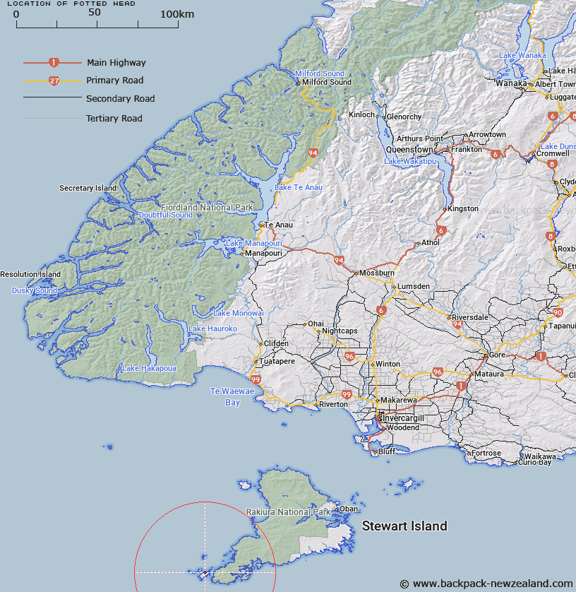
Map showing location of Potted Head


LINZ description: Big South Cape Island. Titi Islands group. North-western headland of island, 1.5km South-west of northernmost point of island.
Latitude: -47.226634
Longitude: 167.411865
Northing: 4754485.7
Easting: 1177010.7
Land District: Southland
Feat Type: Point


Scroll down to see a more detailed road map and below that a topographical map showing the location of Potted Head. The road map has been supplied by openstreetmap and the topographical map of Potted Head has been supplied by Land Information New Zealand (LINZ).

Yes you can use the top static map for you school/university project or personal website with a link back. Contact me for any commercial use.

Potted Head Map New Zealand


New Zealand places in our database
[ A ] [ B ] [ C ] [ D ] [ E ] [ F ] [ G ] [ H ] [ I ] [ J ] [ K ] [ L ] [ M ] [ N ] [ O ] [ P ] [ Q ] [ R ] [ S ] [ T ] [ U ] [ V ] [ W ] [ X ] [ Y ] [ Z ]


Closest 20 Points to Potted Head

Findlay Point ( 13.43km )   Kaninihi Point ( 13.43km )   Stewart Point ( 13.43km )   William Point ( 15.77km )   Wilsons Point ( 15.77km )   Kelp Point ( 16.67km )   Broad Head ( 17.44km )   Weather Point ( 18.82km )   Red Head Point ( 18.82km )   South Red Head Point ( 18.82km )   Patere Point ( 18.82km )   Woody Point ( 18.98km )   Chase Head ( 22.28km )   Smooth Point ( 22.29km )   Seal Point ( 31.06km )   Mason Head ( 47.07km )   Kuri Point ( 48.88km )   Richards Point ( 50.1km )   Ogles Point ( 52.76km )   Moonlight Point ( 54.91km )   Roger Head ( 55.48km )   Owen Head ( 55.49km )   Lords River Head ( 56.01km )   Harry West Point ( 56.66km )   Harry West Bay ( 56.66km )   John Point ( 57.37km )   Dynamite Point ( 58.03km )   North Arm Point ( 58.05km )   North Red Head ( 58.07km )   Trumpeter Point ( 58.2km )   Bull Point ( 59.45km )   Prices Point ( 60.09km )   Allans Point ( 60.46km )   Kaipipi Point ( 61.21km )   Burnt Point ( 61.45km )   Browns Garden ( 61.95km )   Putatara Point ( 62.16km )   McArthurs Head ( 62.43km )   Shelter Point ( 62.74km )   Cow and Calf Point ( 62.99km )