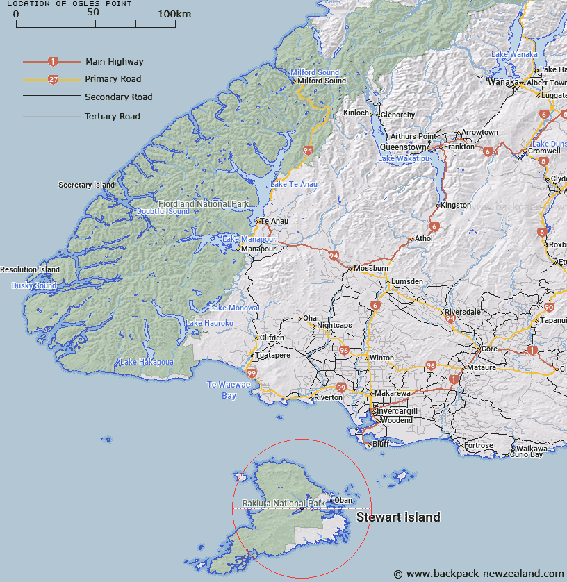
Map showing location of Ogles Point


LINZ description: Prominent point on eastern coast of South West Arm, 3.6km due North of Bald Hill. Paterson Inlet, Stewart Island. Paterson Survey District.
Latitude: -46.94092
Longitude: 167.968206
Northing: 4789100
Easting: 1217066.7
Land District: Southland
Feat Type: Point


Scroll down to see a more detailed road map and below that a topographical map showing the location of Ogles Point. The road map has been supplied by openstreetmap and the topographical map of Ogles Point has been supplied by Land Information New Zealand (LINZ).

Yes you can use the top static map for you school/university project or personal website with a link back. Contact me for any commercial use.

Ogles Point Map New Zealand


New Zealand places in our database
[ A ] [ B ] [ C ] [ D ] [ E ] [ F ] [ G ] [ H ] [ I ] [ J ] [ K ] [ L ] [ M ] [ N ] [ O ] [ P ] [ Q ] [ R ] [ S ] [ T ] [ U ] [ V ] [ W ] [ X ] [ Y ] [ Z ]


Closest 20 Points to Ogles Point

Ogles Point ( 0km )   Harry West Bay ( 3.96km )   Harry West Point ( 3.96km )   Dynamite Point ( 5.27km )   North Arm Point ( 5.44km )   Trumpeter Point ( 7.11km )   Prices Point ( 7.64km )   Allans Point ( 7.8km )   Kaipipi Point ( 8.64km )   Bull Point ( 9.24km )   Cow and Calf Point ( 10.63km )   Burnt Point ( 11.66km )   Flagstaff Point ( 12.55km )   Moonlight Point ( 13.26km )   Peterson Point ( 13.39km )   Hicks Point ( 13.43km )   Ringaringa Point ( 13.51km )   Macrae Point ( 13.57km )   Lonnekers Point ( 13.72km )   Louis Point ( 13.84km )   Peters Point ( 13.98km )   Fly Point ( 14.12km )   Wast Point ( 14.29km )   Bragg Point ( 14.65km )   Fisherman Point ( 15.22km )   Horseshoe Point ( 15.36km )   Bobs Point ( 15.42km )   Chasland Point ( 15.43km )   Schoolhouse Point ( 15.49km )   Ackers Point ( 15.69km )   High Point ( 15.76km )   Mamaku Point ( 16.01km )   Gull Rock Point ( 16.45km )   Steep Head ( 16.68km )   Fifes Point ( 16.88km )   Bullers Point ( 17.31km )   Bullers Point (Anglem) ( 17.31km )   Mason Head ( 18.09km )   Garden Point ( 18.72km )   Chew Tobacco Point ( 19.68km )