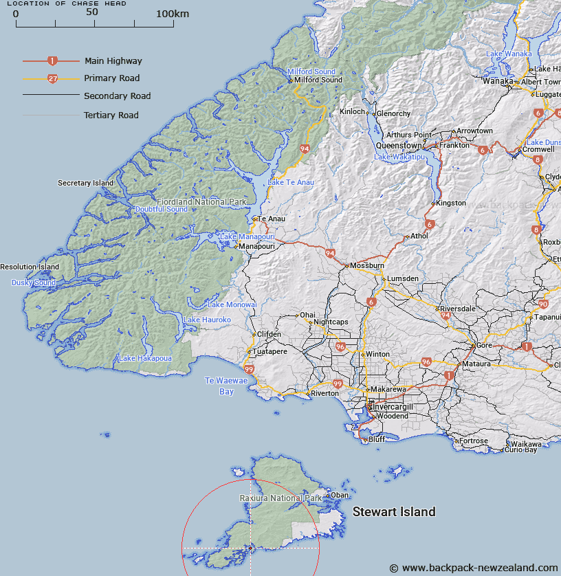
Map showing location of Chase Head


LINZ description: Headland on north west of Pearl Island in Port Pegasus
Latitude: -47.178036
Longitude: 167.698042
Northing: 4761400
Easting: 1198300
Land District: Southland
Feat Type: Point


Scroll down to see a more detailed road map and below that a topographical map showing the location of Chase Head. The road map has been supplied by openstreetmap and the topographical map of Chase Head has been supplied by Land Information New Zealand (LINZ).

Yes you can use the top static map for you school/university project or personal website with a link back. Contact me for any commercial use.

Chase Head Map New Zealand


New Zealand places in our database
[ A ] [ B ] [ C ] [ D ] [ E ] [ F ] [ G ] [ H ] [ I ] [ J ] [ K ] [ L ] [ M ] [ N ] [ O ] [ P ] [ Q ] [ R ] [ S ] [ T ] [ U ] [ V ] [ W ] [ X ] [ Y ] [ Z ]


Closest 20 Points to Chase Head

Smooth Point ( 3.48km )   Woody Point ( 3.83km )   Kelp Point ( 6.28km )   Seal Point ( 9.34km )   Broad Head ( 10.83km )   Wilsons Point ( 12.28km )   William Point ( 12.28km )   South Red Head Point ( 14.26km )   Red Head Point ( 14.26km )   Weather Point ( 14.26km )   Patere Point ( 14.26km )   Stewart Point ( 14.65km )   Findlay Point ( 14.65km )   Kaninihi Point ( 14.65km )   Potted Head ( 22.28km )   Kuri Point ( 26.61km )   Owen Head ( 33.24km )   Ogles Point ( 33.38km )   Lords River Head ( 33.74km )   Mason Head ( 34.22km )   John Point ( 35.1km )   Harry West Bay ( 36.98km )   Harry West Point ( 36.98km )   Trumpeter Point ( 37.67km )   Dynamite Point ( 38.51km )   Bull Point ( 38.59km )   Richards Point ( 38.72km )   North Arm Point ( 38.82km )   Moonlight Point ( 39.41km )   Browns Garden ( 39.71km )   Prices Point ( 40.03km )   Burnt Point ( 40.35km )   Shelter Point ( 40.45km )   Allans Point ( 40.57km )   Sterling Head ( 40.73km )   Stirling Head ( 40.73km )   Starling Head ( 40.73km )   Memory Point ( 40.82km )   Kaipipi Point ( 41.2km )   Pikaroro Point ( 42.48km )