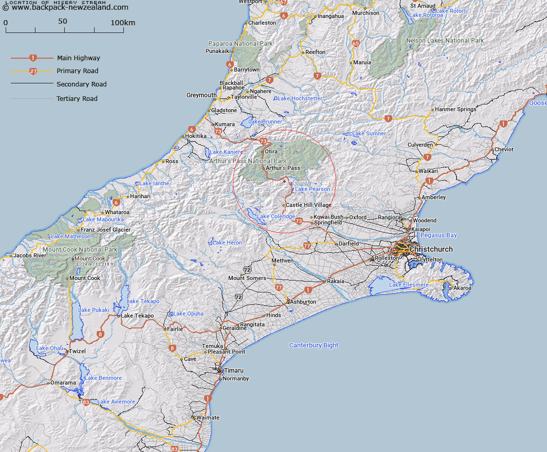
Map showing location of Misery Stream


LINZ description: Left bank tributary of Cass River, rising on the northern slopes of Mount Misery [Trig. W (Geodetic Code A9XL)], flowing eastward through Misery Swamp and joining Cass River 1.4km West of Cass township. Block XVI Bealey Survey District.
Latitude: -43.038273
Longitude: 171.722253
Northing: 5234142.9
Easting: 1495917
Land District: Canterbury
Feat Type: Stream


Scroll down to see a more detailed road map and below that a topographical map showing the location of Misery Stream. The road map has been supplied by openstreetmap and the topographical map of Misery Stream has been supplied by Land Information New Zealand (LINZ).

Yes you can use the top static map for you school/university project or personal website with a link back. Contact me for any commercial use.

Misery Stream Map New Zealand


New Zealand places in our database
[ A ] [ B ] [ C ] [ D ] [ E ] [ F ] [ G ] [ H ] [ I ] [ J ] [ K ] [ L ] [ M ] [ N ] [ O ] [ P ] [ Q ] [ R ] [ S ] [ T ] [ U ] [ V ] [ W ] [ X ] [ Y ] [ Z ]


Closest 20 Streams to Misery Stream

Cass River ( 2.11km )   Snowslide Stream ( 2.97km )   Grasmere Stream ( 2.97km )   McLeod Stream ( 3.4km )   Long Valley Stream ( 4.88km )   McKay Stream ( 5.36km )   Red Beech Stream ( 5.95km )   Douglas Stream ( 6.07km )   Ribbonwood Stream ( 6.28km )   Broad Stream ( 6.47km )   Sudden Valley Stream ( 7.91km )   Riversdale Stream ( 8.07km )   Lower Farm Stream ( 8.77km )   Sawmill Stream ( 8.85km )   Bush Stream ( 9.03km )   Doubtful Creek ( 9.08km )   Andrews Stream ( 9.17km )   Mangos Creek ( 9.44km )   Poverty Stream ( 9.45km )   East Branch Edwards River ( 9.94km )   Manson Creek ( 10.33km )   Hamilton Creek ( 10.49km )   Edwards River ( 10.54km )   Fall Creek ( 10.68km )   Craigieburn ( 10.69km )   Slovens Stream ( 10.74km )   Bruce Stream ( 10.95km )   Gooseberry Stream ( 11.44km )   Camp Stream ( 11.5km )   Hawdon River ( 11.66km )   Long Creek ( 11.66km )   Windy Creek ( 11.96km )   Broken River ( 12.28km )   Bernard Stream ( 12.48km )   Mingha River ( 12.53km )   Tarn Creek ( 12.65km )   Greyneys Creek ( 12.96km )   Wall Creek ( 13.07km )   Power Stream ( 13.15km )   Pete Stream ( 13.18km )