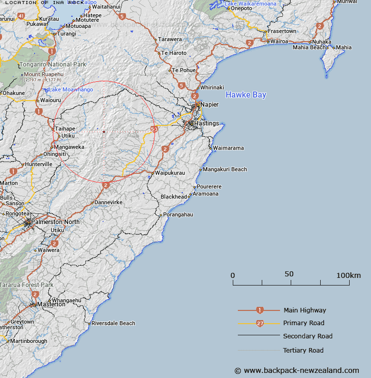
Map showing location of Ina Rock
LINZ description: Approximately 1.5km south of Tupari Peak, Trig B1X1. Wakarara Survey District.
Latitude: -39.693325
Longitude: 176.18277
Northing: 5601435.7
Easting: 1872917.9
Land District: Hawke's Bay, Wellington
Feat Type: Hill
Latitude: -39.693325
Longitude: 176.18277
Northing: 5601435.7
Easting: 1872917.9
Land District: Hawke's Bay, Wellington
Feat Type: Hill

Scroll down to see a more detailed road map and below that a topographical map showing the location of Ina Rock. The road map has been supplied by openstreetmap and the topographical map of Ina Rock has been supplied by Land Information New Zealand (LINZ).
Yes you can use the top static map for you school/university project or personal website with a link back. Contact me for any commercial use.
[ A ] [ B ] [ C ] [ D ] [ E ] [ F ] [ G ] [ H ] [ I ] [ J ] [ K ] [ L ] [ M ] [ N ] [ O ] [ P ] [ Q ] [ R ] [ S ] [ T ] [ U ] [ V ] [ W ] [ X ] [ Y ] [ Z ]