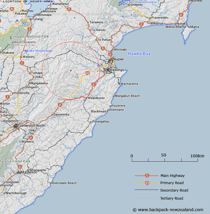
Map showing location of Mount Mary
LINZ description: Hill between Mangleton Road, and Ohara Stream. Trig Station (Geodetic Code B1WT) on the peak. Ngaruroro Survey District.
Latitude: -39.644625
Longitude: 176.342872
Northing: 5606342.3
Easting: 1886850.8
Land District: Hawke's Bay
Feat Type: Hill
Latitude: -39.644625
Longitude: 176.342872
Northing: 5606342.3
Easting: 1886850.8
Land District: Hawke's Bay
Feat Type: Hill

Scroll down to see a more detailed road map and below that a topographical map showing the location of Mount Mary. The road map has been supplied by openstreetmap and the topographical map of Mount Mary has been supplied by Land Information New Zealand (LINZ).
Yes you can use the top static map for you school/university project or personal website with a link back. Contact me for any commercial use.
[ A ] [ B ] [ C ] [ D ] [ E ] [ F ] [ G ] [ H ] [ I ] [ J ] [ K ] [ L ] [ M ] [ N ] [ O ] [ P ] [ Q ] [ R ] [ S ] [ T ] [ U ] [ V ] [ W ] [ X ] [ Y ] [ Z ]