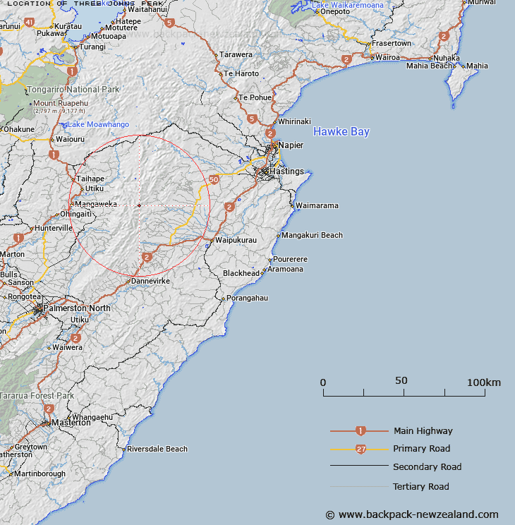
Map showing location of Three Johns Peak
LINZ description: A 1569m peak found to the south of the Waipapa River, 2.1km north-east of Rangiteatua (1704m) in the Ruahine Ranges.
Latitude: -39.812451
Longitude: 176.156234
Northing: 5588291.2
Easting: 1870175.6
Land District: Hawke's Bay
Feat Type: Hill
Latitude: -39.812451
Longitude: 176.156234
Northing: 5588291.2
Easting: 1870175.6
Land District: Hawke's Bay
Feat Type: Hill

Scroll down to see a more detailed road map and below that a topographical map showing the location of Three Johns Peak. The road map has been supplied by openstreetmap and the topographical map of Three Johns Peak has been supplied by Land Information New Zealand (LINZ).
Yes you can use the top static map for you school/university project or personal website with a link back. Contact me for any commercial use.
[ A ] [ B ] [ C ] [ D ] [ E ] [ F ] [ G ] [ H ] [ I ] [ J ] [ K ] [ L ] [ M ] [ N ] [ O ] [ P ] [ Q ] [ R ] [ S ] [ T ] [ U ] [ V ] [ W ] [ X ] [ Y ] [ Z ]