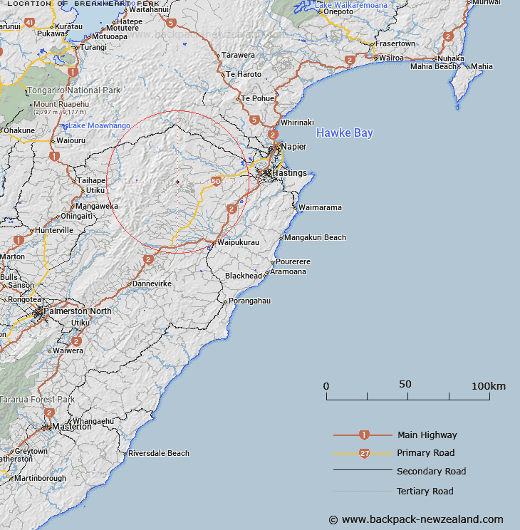
Map showing location of Breakheart Peak
LINZ description: Peak between Poutaki Stream and a tributary of the Waitangi Stream shown on maps as Trig. M (2,460 ft). Wakarara Survey District.
Latitude: -39.679045
Longitude: 176.356874
Northing: 5602476.2
Easting: 1887909.5
Land District: Hawke's Bay
Feat Type: Hill
Latitude: -39.679045
Longitude: 176.356874
Northing: 5602476.2
Easting: 1887909.5
Land District: Hawke's Bay
Feat Type: Hill

Scroll down to see a more detailed road map and below that a topographical map showing the location of Breakheart Peak. The road map has been supplied by openstreetmap and the topographical map of Breakheart Peak has been supplied by Land Information New Zealand (LINZ).
Yes you can use the top static map for you school/university project or personal website with a link back. Contact me for any commercial use.
[ A ] [ B ] [ C ] [ D ] [ E ] [ F ] [ G ] [ H ] [ I ] [ J ] [ K ] [ L ] [ M ] [ N ] [ O ] [ P ] [ Q ] [ R ] [ S ] [ T ] [ U ] [ V ] [ W ] [ X ] [ Y ] [ Z ]