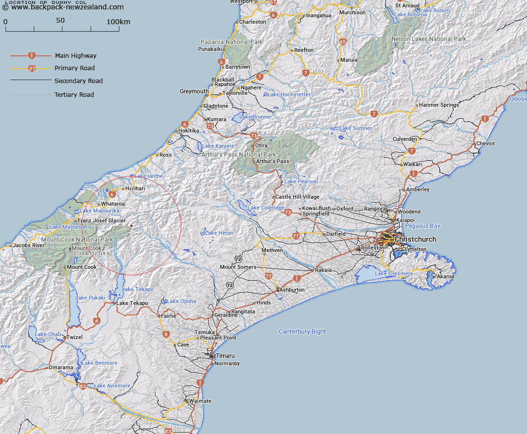
Map showing location of Dummy Col


LINZ description: Col at the head of Eric Stream, a tributary of Havelock River, and 300m South-east of Mount Odell. Torlesse Survey District.
Latitude: -43.42092
Longitude: 170.618942
Northing: 5189687.3
Easting: 1407250.8
Land District: Canterbury
Feat Type: Pass


Scroll down to see a more detailed road map and below that a topographical map showing the location of Dummy Col. The road map has been supplied by openstreetmap and the topographical map of Dummy Col has been supplied by Land Information New Zealand (LINZ).

Yes you can use the top static map for you school/university project or personal website with a link back. Contact me for any commercial use.

Dummy Col Map New Zealand


New Zealand places in our database
[ A ] [ B ] [ C ] [ D ] [ E ] [ F ] [ G ] [ H ] [ I ] [ J ] [ K ] [ L ] [ M ] [ N ] [ O ] [ P ] [ Q ] [ R ] [ S ] [ T ] [ U ] [ V ] [ W ] [ X ] [ Y ] [ Z ]


Closest 20 Passs to Dummy Col

Hidden Col ( 0.53km )   Dennistoun Pass ( 0.57km )   St Winifred Col ( 1.6km )   Terra Nova Pass ( 2.07km )   Stewart Saddle ( 3.21km )   Gunn Pass ( 3.48km )   Sealy Pass ( 5.24km )   Revelation Col ( 5.42km )   Separation Col ( 6km )   Easy Col ( 6.32km )   Twilight Col ( 6.85km )   Maud Pass ( 8.1km )   Orb Col ( 8.26km )   Jacqueline Col ( 8.36km )   Veil Col ( 9.93km )   Havelock Col ( 10.14km )   Grey Pass ( 10.23km )   Fan Col ( 10.23km )   Disappointment Saddle ( 10.41km )   Vertebrae Col ( 11.06km )   Angel Col ( 11.42km )   Perth Col ( 12.13km )   Lucknow Saddle ( 12.13km )   Adams Col ( 12.41km )   Iceland Col ( 13.69km )   Plata Col ( 14.37km )   Balaclava Saddle ( 14.88km )   Balaclava Saddle ( 14.88km )   Satan Saddle ( 15.88km )   Alma Col ( 17.78km )   Escape Col ( 18.58km )   Lambert Col ( 18.94km )   Whataroa Saddle ( 19.01km )   Cassandra Col ( 19.02km )   Rangitata Col ( 19.16km )   Classen Saddle ( 19.26km )   McCoy Col ( 19.26km )   Battleaxe Col ( 19.75km )   Malcolm Col ( 19.75km )   Gadarene Col ( 19.79km )