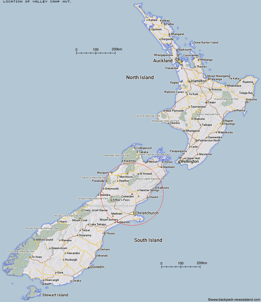
Topo Map showing location of Valley Camp Hut
This information is sourced from DoC, LINZ and Openstreetmap. Some of the hut photos are mine and the rest are from DoC. I will be adding an upload feature soon so people can photos of .Valley Camp Hut.
Latitude: -42.6767405231
Longitude: 172.554004618
Location:
Type of Hut:
Map: Topo Map | Road Map
Does this hut still exist? Have any more information? Contact
Latitude: -42.6767405231
Longitude: 172.554004618
Location:
Type of Hut:
Map: Topo Map | Road Map
Does this hut still exist? Have any more information? Contact
Scroll down to see a topographical map and road map showing the location of Valley Camp Hut
[ A ] [ B ] [ C ] [ D ] [ E ] [ F ] [ G ] [ H ] [ I ] [ J ] [ K ] [ L ] [ M ] [ N ] [ O ] [ P ] [ Q ] [ R ] [ S ] [ T ] [ U ] [ V ] [ W ] [ Y ] [ Z ]
Closest 20 Huts to Valley Camp Hut
These are as the crow fliesBush Hut 5.1km Glenrae Bivouac 9.32km Glenrae Hut 13.84km Tutu Hut 14.69km Carlyle Hut 14.84km Cold Stream Hut 15.91km Bus Shelter 17.66km Jollie Brook Hut 18.62km Magdalen Hut 20.98km Hope Halfway Hut 22.01km Gabriel Hut 22.15km Evangeline Bivouac 22.51km Steyning Hut 23.07km Tin Jug Hut 23.51km Stony Stream Bivouac 24.48km Boyle Flat Hut 24.7km Museum Hut 24.89km Saint Jacob's Hut 27.19km Doubtful Hut 27.45km Rokeby Hut 28.02km Scotties Hut 28.35km Jervois Hut 29.12km Devils Den Bivouac 29.89km Nina Hut 30.17km Lake Man Bivouac 30.44km Old Bridge Hut 31.36km Pool Hut 31.64km Tommys Cabin 31.67km Doubtless Hut 31.88km Top Hope Hut 32.44km Lucretia Hut 32.46km Lake Mason Hut 32.48km Upper Nina Bivouac 32.61km Three Mile Stream Hut 32.65km Deep Creek Hut 32.97km Seldom Inn Hut 33.19km Lake Sumner Hut 33.43km Brass Monkey Bivouac 34.62km Bush Camp Hut 35.45km Anne Cullers Hut 35.87km