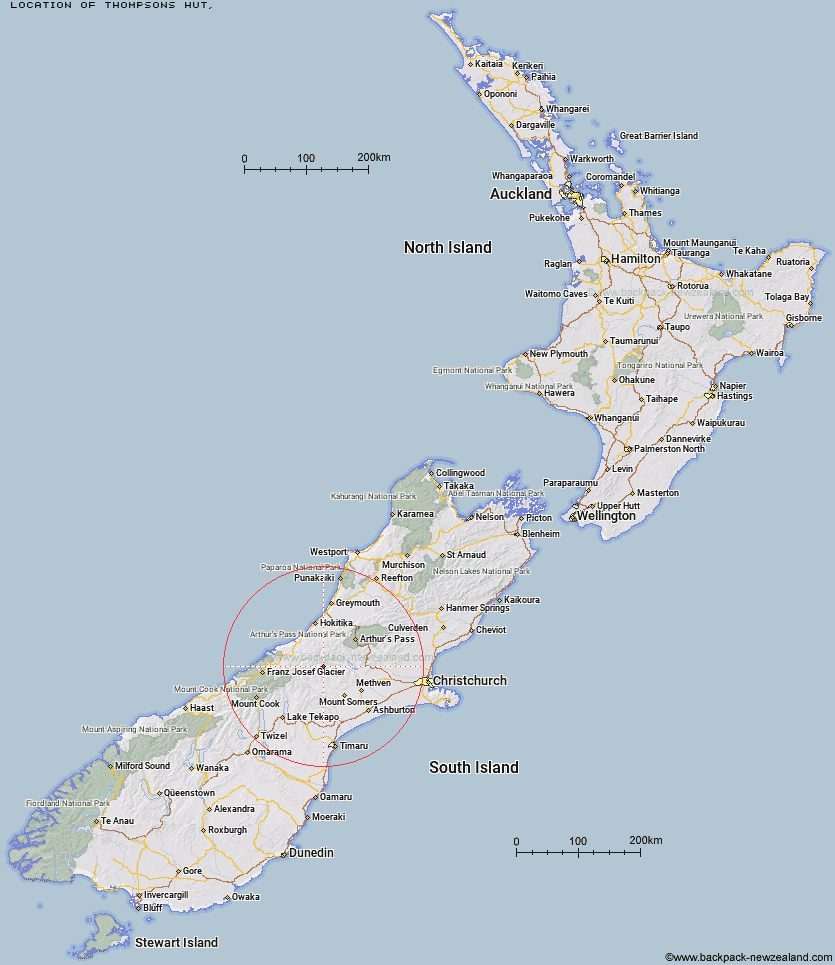
Topo Map showing location of Thompsons Hut
This information is sourced from DoC, LINZ and Openstreetmap. Some of the hut photos are mine and the rest are from DoC. I will be adding an upload feature soon so people can photos of .Thompsons Hut.
Latitude: -43.3092711056
Longitude: 171.087341157
Location:
Type of Hut:
Map: Topo Map | Road Map
Does this hut still exist? Have any more information? Contact
Latitude: -43.3092711056
Longitude: 171.087341157
Location:
Type of Hut:
Map: Topo Map | Road Map
Does this hut still exist? Have any more information? Contact
Scroll down to see a topographical map and road map showing the location of Thompsons Hut
[ A ] [ B ] [ C ] [ D ] [ E ] [ F ] [ G ] [ H ] [ I ] [ J ] [ K ] [ L ] [ M ] [ N ] [ O ] [ P ] [ Q ] [ R ] [ S ] [ T ] [ U ] [ V ] [ W ] [ Y ] [ Z ]
Closest 20 Huts to Thompsons Hut
These are as the crow fliesBanfield Hut 2.81km Jellicoe Hut 3.85km Downs Hut 3.98km Washbourne Hut 6.58km Evans Hut 7.16km Cameron Hut 8.53km Reischek Hut 10.5km Charlies Hut 10.79km Lauper Bivouac 10.88km Highland Home 11.84km Top Hut 13.27km Mathias Hut 14.04km Lawrence Bivouac 14.28km Lyell Hut 14.42km Centennial Cabin 14.53km Moraine Hut 15.06km West Mathias Bivouac 15.87km Neave Hut 16.64km Hermitage Hut 17.76km Wilkinson Hut 18.71km Lawrence Hut 20.56km Price Basin Hut 22.22km Potts Hut 22.3km Smyth Hut 22.3km Canyon Creek Bivouac 23.06km Price Flat Hut 23.07km Price Flat Hut 23.29km Ivory Lake Hut 23.94km A Frame Hut 24.31km Moa Stream Hut 24.46km Boundary Creek Hut 24.52km Erewhon Station Hut 24.65km Double Hut 25.02km County Stream Hut 25.54km Frew Saddle Bivouac 25.84km Top Waitaha Hut 26.14km Comyns Hut 26.23km McCoy Hut 26.35km Watchdog Hut 26.55km Manuels Hut 26.94km