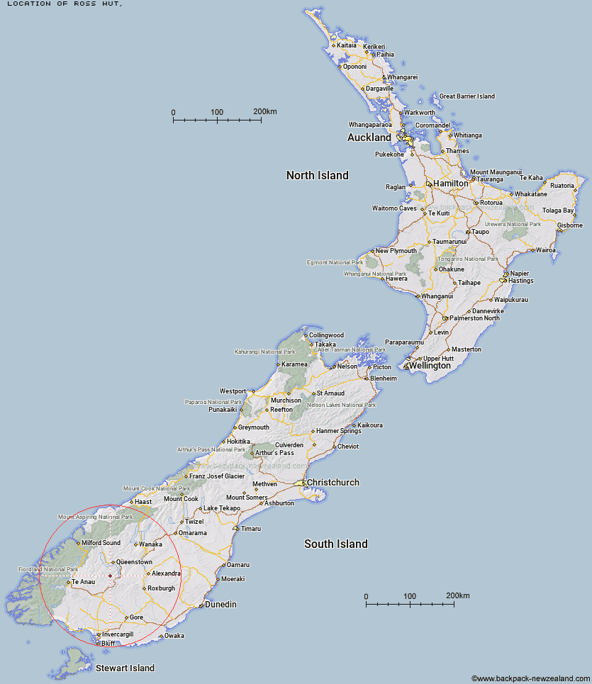
Topo Map showing location of Ross Hut
This information is sourced from DoC, LINZ and Openstreetmap. Some of the hut photos are mine and the rest are from DoC. I will be adding an upload feature soon so people can photos of .Ross Hut.
Latitude: -45.291713641
Longitude: 168.600128129
Location:
Type of Hut:
Map: Topo Map | Road Map
Does this hut still exist? Have any more information? Contact
Latitude: -45.291713641
Longitude: 168.600128129
Location:
Type of Hut:
Map: Topo Map | Road Map
Does this hut still exist? Have any more information? Contact
Scroll down to see a topographical map and road map showing the location of Ross Hut
[ A ] [ B ] [ C ] [ D ] [ E ] [ F ] [ G ] [ H ] [ I ] [ J ] [ K ] [ L ] [ M ] [ N ] [ O ] [ P ] [ Q ] [ R ] [ S ] [ T ] [ U ] [ V ] [ W ] [ Y ] [ Z ]
Closest 20 Huts to Ross Hut
These are as the crow fliesMitchells Hut 3.72km Siberia Hut 4.59km Billy Hut 8.41km Saint Marys Hut 10.2km Long Burn Hut 12.83km Cowshed Hut 13.4km Dog Box Bivouac 17.63km Shepherd Creek Hut 18.14km Two Mile Hut 20.52km Garston Ski Hut 21.43km Slate Hut 23.07km Irthing Hut 23.74km Baileys Hut 23.81km Mud Hut 24.01km Mansion Hut 26.91km Upper Cromel Hut 27.34km Cromel Branch Hut 27.56km Sam Summers Hut 27.67km Ashton Hut 27.89km Islands Hut 31.2km Upper Oreti Hut 31.3km Glen Roy Raceman's Hut 31.44km Mt Bee Bunkrooms 31.47km Upper Windley Hut 32.11km Dome Hut 32.91km Lincoln Hut 33.22km Cromel Base Hut 33.46km Blue Lake Huts 33.69km Careys Hut 35.99km West Burn Hut 36.18km Boundary Hut 37.02km Junction Hut 37.77km Old Woman Hut 37.97km Flaxy Hut 38.25km Jim Baird Hut 39.04km McCrimmons Hut 39.43km Lower Windley Hut 39.59km Taipo Hut 39.95km Kiwi Burn Hut 40.43km Titan Huts 40.51km