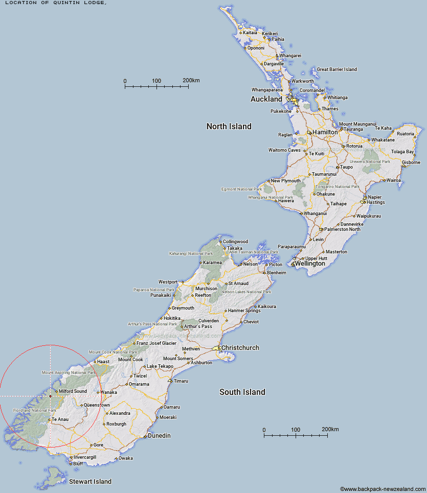
Topo Map showing location of Quintin Lodge
This information is sourced from DoC, LINZ and Openstreetmap. Some of the hut photos are mine and the rest are from DoC. I will be adding an upload feature soon so people can photos of .Quintin Lodge.
Latitude: -44.7913931687
Longitude: 167.753388804
Location:
Type of Hut:
Map: Topo Map | Road Map
Does this hut still exist? Have any more information? Contact
Latitude: -44.7913931687
Longitude: 167.753388804
Location:
Type of Hut:
Map: Topo Map | Road Map
Does this hut still exist? Have any more information? Contact
Scroll down to see a topographical map and road map showing the location of Quintin Lodge
[ A ] [ B ] [ C ] [ D ] [ E ] [ F ] [ G ] [ H ] [ I ] [ J ] [ K ] [ L ] [ M ] [ N ] [ O ] [ P ] [ Q ] [ R ] [ S ] [ T ] [ U ] [ V ] [ W ] [ Y ] [ Z ]
Closest 20 Huts to Quintin Lodge
These are as the crow fliesQuintin Lodge 0km Andersons Cascade Shelter 1.64km Mackinnon Pass Shelter 2.13km Dumpling Hut 2.73km Mintaro Hut 3.02km Pompolona Lodge 6.36km Bus Stop Shelter 6.75km Boatshed Shelter 7.07km Boatshed Hut 7.09km Prairie Shelter 7.61km Hirere Shelter 11.11km Giant Gate Shelter 12.19km Sandfly Point Shelter 16.7km Clinton Hut 17.64km Worsley Hut 17.96km Homer Hut 19.85km Glade House 19.99km Gill's Bivvy 23.1km Phil's Bivvy 23.2km Glaisnock Hut 23.42km Turners Bivouac 28.43km The Divide Shelter 28.97km Pawnbroker Rock 28.98km Lake Howden Hut 30.25km Lake Thomson Hut 31.1km Lake Hankinson Hut 31.96km McKellar Lodge 32.03km McKellar Hut 32.15km George Sound Hut 32.67km Lake Mackenzie Lodge 33.25km Lake Mackenzie Hut 33.28km Sunshine Hut 33.98km Hidden Falls Hut 34.1km Routeburn Falls Lodge 35.92km Routeburn Falls Hut 35.97km Kaipo Hut 36.89km Routeburn Flats Hut 37.2km Upper Caples Hut 37.44km Rats Nest Hut 38.14km Kay Creek Hut 38.91km