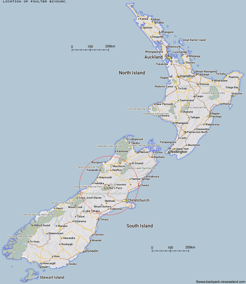
Topo Map showing location of Poulter Bivouac
This information is sourced from DoC, LINZ and Openstreetmap. Some of the hut photos are mine and the rest are from DoC. I will be adding an upload feature soon so people can photos of .Poulter Bivouac.
Latitude: -42.8152240334
Longitude: 171.770894383
Location:
Type of Hut:
Map: Topo Map | Road Map
Does this hut still exist? Have any more information? Contact
Latitude: -42.8152240334
Longitude: 171.770894383
Location:
Type of Hut:
Map: Topo Map | Road Map
Does this hut still exist? Have any more information? Contact
Scroll down to see a topographical map and road map showing the location of Poulter Bivouac
[ A ] [ B ] [ C ] [ D ] [ E ] [ F ] [ G ] [ H ] [ I ] [ J ] [ K ] [ L ] [ M ] [ N ] [ O ] [ P ] [ Q ] [ R ] [ S ] [ T ] [ U ] [ V ] [ W ] [ Y ] [ Z ]
Closest 20 Huts to Poulter Bivouac
These are as the crow fliesPoulter Bivouac 0km Koropuku Hut 2.98km Minchin Bivouac 3.93km Worsley Bivouac 4.15km Townsend Hut 4.59km Poulter Hut 4.96km Otehake Hut 6.8km Kiwi Hut 6.86km Trust/Poulter Hut 7.32km Pfeifer Bivouac 8.71km East Hawdon Bivouac 9.43km Locke Stream Hut 9.68km Hawdon Hut 11.11km Ranger Bivouac 11.18km Top Trent / Lagoon Hut 13.8km Top Crooked Hut 13.94km Elizabeth Hut 14.14km Harper Pass Bivouac 14.35km Upper Deception Hut 14.7km Cone Creek Hut 15.09km Goat Pass Hut 15.29km Sudden Valley Bivouac 15.89km Jacko Flat Hut 16.53km Mingha Bivouac 16.58km Mid Trent Hut 17.23km Edwards Hut 17.28km Lake Morgan Hut 17.62km Carroll Hut 18.06km Bull Creek Hut 18.28km Upper South Branch Hurunui Hut 18.55km Camerons Hut 18.81km Turnbull Bivouac 19.26km Hawdon Shelter 19.26km Andrews Shelter 19.96km Riversdale Hut 20.58km Candlesticks Bivouac 20.67km Jacks Hut 20.81km Camp Creek Hut 20.98km Hurunui No 3 Hut 21.82km Hunts Creek Hut 22.14km