Topo Map showing location of Hopeless Hut
This information is sourced from DoC, LINZ and Openstreetmap. Some of the hut photos are mine and the rest are from DoC. I will be adding an upload feature soon so people can photos of .Hopeless Hut.
Basic info: standard 6-bunk hut in the Nelson Lakes area.
Latitude: -41.9304330684
Longitude: 172.756604262
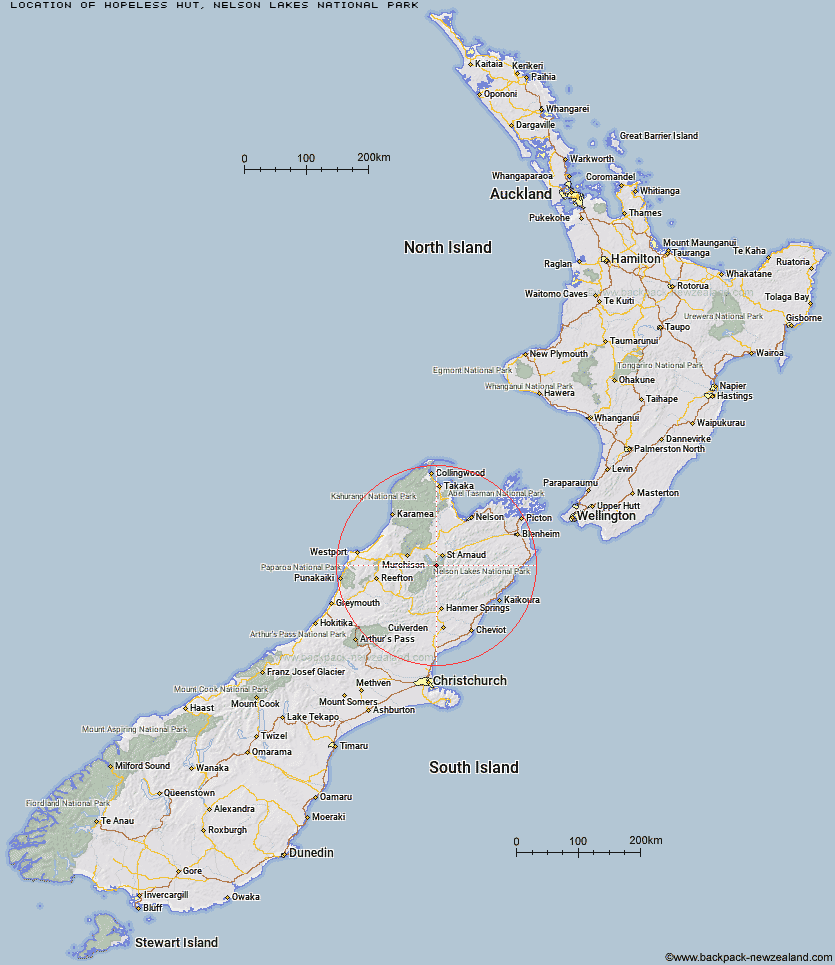
Location: Nelson Lakes National Park
Area: Nelson/Tasman
Type of Hut: Standard
Tracks: Travers-Sabine Circuit
Map: BS24 Topo Map | Road Map
Does this hut still exist? Have any more information? Contact
Basic info: standard 6-bunk hut in the Nelson Lakes area.
Latitude: -41.9304330684
Longitude: 172.756604262
Location: Nelson Lakes National Park
Area: Nelson/Tasman
Type of Hut: Standard
Tracks: Travers-Sabine Circuit
Map: BS24 Topo Map | Road Map
Does this hut still exist? Have any more information? Contact

Image: DoC
Scroll down to see a topographical map and road map showing the location of Hopeless Hut
[ A ] [ B ] [ C ] [ D ] [ E ] [ F ] [ G ] [ H ] [ I ] [ J ] [ K ] [ L ] [ M ] [ N ] [ O ] [ P ] [ Q ] [ R ] [ S ] [ T ] [ U ] [ V ] [ W ] [ Y ] [ Z ]
Closest 20 Huts to Hopeless Hut
These are as the crow fliesAngelus Hut 4.72km Cupola Hut 5.01km John Tait Hut 5.03km Sabine Hut 7.03km Mount Misery Hut 7.13km Lakehead Hut 8.15km Coldwater Hut 8.34km Speargrass Hut 8.73km D'Urville Hut 9.54km Upper Travers Hut 10.01km West Sabine Hut 10.5km Relax Shelter 11.47km Bushline Hut 11.79km Bushedge Shelter 11.88km Morgan Hut 11.92km Begley Hut 12.05km Connors Creek Hut 13.51km Tiraumea Hut 14.68km Mole Hut 15.64km Blue Lake Hut 16.5km George Lyon Hut 18.06km Lees Creek Hut 18.1km Paske Hut 20.14km Top Misery Hut 20.33km Matakitaki Base Hut 21.77km Bull Paddock Creek Hut 22.62km Lost Stream Bivouac 23.33km Upper D'Urville Hut 23.38km Branch Bivouac 23.49km Bottom Misery Hut 24.33km Island Gully Hut 24.68km Sedgemere Sleepout 25.69km Caroline Creek Bivouac 26.06km Mid Silverstream Hut 26.81km Siberia Hut 26.96km Top Leatham Hut 27.33km Severn Hut 27.38km Beebys Hut 27.58km Silverstream Bivouac 28.09km Red Hills Hut 29.49km