Topo Map showing location of Cameron Hut
This information is sourced from DoC, LINZ and Openstreetmap. Some of the hut photos are mine and the rest are from DoC. I will be adding an upload feature soon so people can photos of .Cameron Hut.
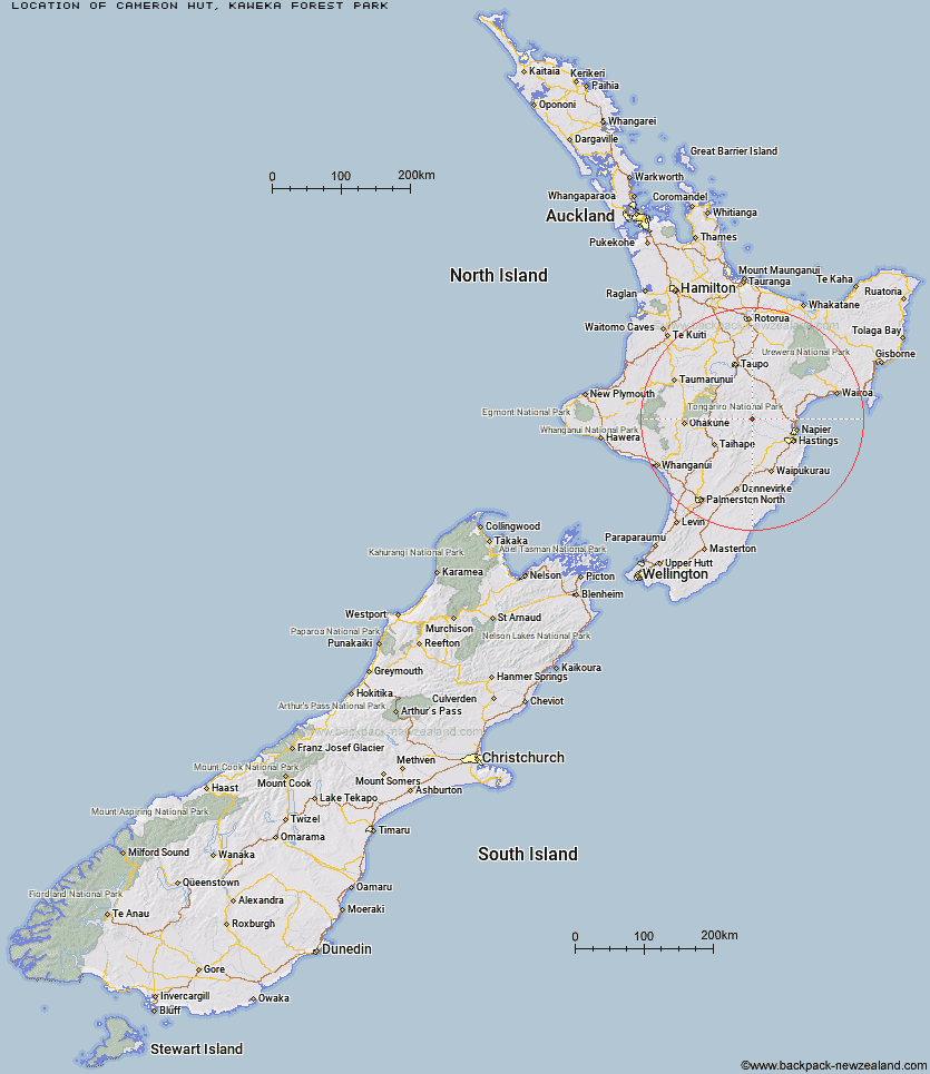
Basic info: Cameron Hut is located on the south-western Kaweka Forest Park Boundary on the banks of the Ngaruroro River.
Latitude: -39.361746016
Longitude: 176.292077683
Location: Kaweka Forest Park
Area: Hawke's Bay
Type of Hut: Standard
Tracks: Cameron carpark tramping tracks
Map: BJ37 Topo Map | Road Map
Does this hut still exist? Have any more information? Contact
Scroll down to see a topographical map and road map showing the location of Cameron Hut
[ A ] [ B ] [ C ] [ D ] [ E ] [ F ] [ G ] [ H ] [ I ] [ J ] [ K ] [ L ] [ M ] [ N ] [ O ] [ P ] [ Q ] [ R ] [ S ] [ T ] [ U ] [ V ] [ W ] [ Y ] [ Z ]
Closest 20 Huts to Cameron Hut
These are as the crow fliesKiwi Saddle Hut 4.05km Kiwi Mouth Hut 4.17km Rock Camp Bivouac 5.61km Manson Bivouac 7.19km Old Manson Hut 7.62km Manson Hut 7.79km Back Ridge Bivouac 8.74km Studholme Saddle Bivouac 8.77km Studholme Saddle Hut 9.17km Rocks Ahead Bivouac 9.57km Rocks Ahead Hut 9.59km Mackintosh Hut 9.91km Back Ridge Hut 10.95km Otutu Hut 11.04km Lowry Shelter 11.65km Comet Hut 11.86km Otutu Island Hut 12.23km Omarukokere Bivouac 12.42km Dominie Hut 12.58km Makahu Saddle Hut 12.97km Venison Tops Hut (Tira Lodge) 12.99km Black Birch Bivouac 14.23km Ngaawapurua Hut 14.66km Ballard Hut 15.29km Kaweka Flats Bivouac 15.41km Mangaturutu Hut 16.18km Shutes Hut 16.68km Iron Whare 16.72km Cedars Hut (Blowfly) 17.43km Te Puke (Te Pukeohikarua) Hut 18.75km Middle Hill Hut 18.9km Harkness Hut 19.04km Golden Hills Hut 19.62km Dianes Hut 20.09km Taruarau Bivouac 20.09km Makino Hut 21.57km Ruahine Hut 21.9km Tussock Hut 22.79km Te Apunga Hut 23.02km Dead Dog Hut 24.06km