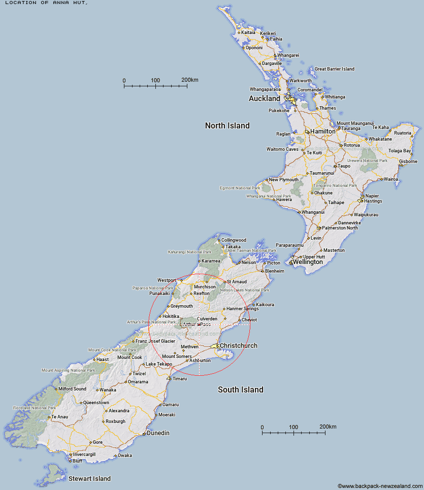
Topo Map showing location of Anna Hut
This information is sourced from DoC, LINZ and Openstreetmap. Some of the hut photos are mine and the rest are from DoC. I will be adding an upload feature soon so people can photos of .Anna Hut.
Latitude: -42.9368260211
Longitude: 172.106847284
Location:
Type of Hut:
Map: Topo Map | Road Map
Does this hut still exist? Have any more information? Contact
Latitude: -42.9368260211
Longitude: 172.106847284
Location:
Type of Hut:
Map: Topo Map | Road Map
Does this hut still exist? Have any more information? Contact
Scroll down to see a topographical map and road map showing the location of Anna Hut
[ A ] [ B ] [ C ] [ D ] [ E ] [ F ] [ G ] [ H ] [ I ] [ J ] [ K ] [ L ] [ M ] [ N ] [ O ] [ P ] [ Q ] [ R ] [ S ] [ T ] [ U ] [ V ] [ W ] [ Y ] [ Z ]
Closest 20 Huts to Anna Hut
These are as the crow fliesAnt Stream Hut 4.67km Anderson's Hut 5.64km Cattle Creek Hut 7.75km Ant Stream Bivouac 7.77km Lochinvar Hut 8.1km Esk Bivouac 10.48km Youngman Stream Hut 11.63km Tarn Hut 11.86km Bull Creek Hut 12.28km Candlesticks Bivouac 13.77km Deep Creek Hut 14.65km Bush Camp Hut 14.85km North Esk Hut 15.47km Lilburne Hut 15.73km Seldom Inn Hut 15.76km Turnbull Bivouac 16.29km Ranger Bivouac 19.37km Stony Stream Hut 19.86km South Branch Research Hut 21.36km Upper South Branch Hurunui Hut 21.56km Puketeraki Bivouac 22.31km Lake Mason Hut 22.53km Hamilton Hut 23.19km Trust/Poulter Hut 23.37km Lake Sumner Hut 25.7km Hurunui Hut 25.93km Poulter Hut 26.07km Andrews Shelter 26.32km Lower Salmon Creek Bivouac 27.03km East Hawdon Bivouac 27.24km Bob's Camp Bivouac 27.32km Riversdale Hut 27.58km Hurunui No 3 Hut 27.98km Worsley Bivouac 28.03km Camerons Hut 28.12km Black Hill Hut 28.18km Gabriel Hut 28.24km Pinchgut Hut 28.46km Minchin Bivouac 28.88km Harper Pass Bivouac 29.13km