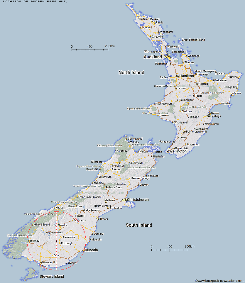
Topo Map showing location of Andrew Rees Hut
This information is sourced from DoC, LINZ and Openstreetmap. Some of the hut photos are mine and the rest are from DoC. I will be adding an upload feature soon so people can photos of .Andrew Rees Hut.
Latitude: -45.4256500639
Longitude: 169.139065179
Location:
Type of Hut:
Map: Topo Map | Road Map
Does this hut still exist? Have any more information? Contact
Latitude: -45.4256500639
Longitude: 169.139065179
Location:
Type of Hut:
Map: Topo Map | Road Map
Does this hut still exist? Have any more information? Contact
Scroll down to see a topographical map and road map showing the location of Andrew Rees Hut
[ A ] [ B ] [ C ] [ D ] [ E ] [ F ] [ G ] [ H ] [ I ] [ J ] [ K ] [ L ] [ M ] [ N ] [ O ] [ P ] [ Q ] [ R ] [ S ] [ T ] [ U ] [ V ] [ W ] [ Y ] [ Z ]
Closest 20 Huts to Andrew Rees Hut
These are as the crow fliesPotters Huts 0.44km Diggers Hut 5.22km McCrimmons Hut 5.65km Christies Hut 8.2km Nicholsons Hut 8.88km Bush Huts 9.55km Junction Hut 10.08km Boundary Hut 10.66km Blue Lake Huts 16.77km Whites Hut 17.96km Titan Huts 18.49km Black Hut 22.66km Baileys Hut 22.81km Junction Hut 24.05km Stronach Hut 24.57km Old Woman Hut 24.78km Flaxy Hut 25.33km Dome Hut 30km Garston Ski Hut 30.67km Slate Hut 30.69km Mud Hut 31.92km Hyde Home Hut 33.98km Jim Baird Hut 35.57km Cairnmuir Musterer's Hut 35.95km Sullivan Hut 36.32km Leithen Hut 37.58km Two Mile Hut 38.37km Beaumont Hut 40.38km Mitchells Hut 41.43km Glen Roy Raceman's Hut 42.97km Ross Hut 44.66km Siberia Hut 46.06km Long Burn Hut 47.79km Canadian Hut 51.22km Deep Creek Hut 52.12km Cowshed Hut 52.44km Billy Hut 53.07km Saint Marys Hut 54.53km Shepherd Creek Hut 55.24km Mansion Hut 56.36km