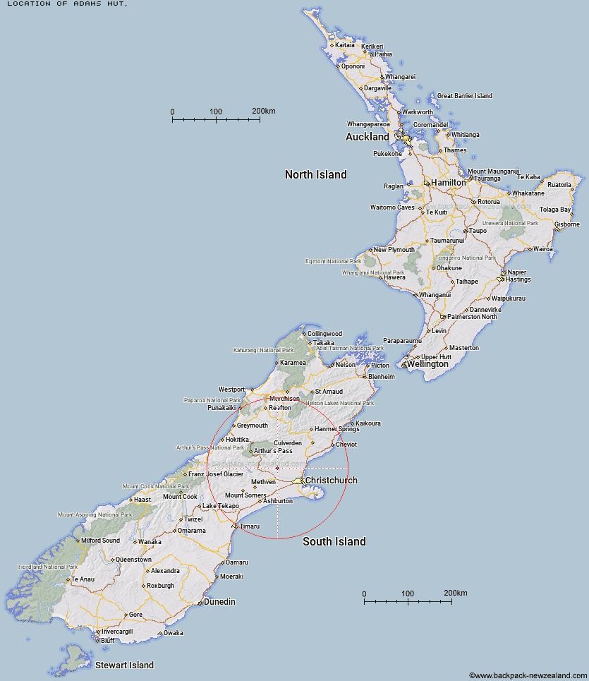
Topo Map showing location of Adams Hut
This information is sourced from DoC, LINZ and Openstreetmap. Some of the hut photos are mine and the rest are from DoC. I will be adding an upload feature soon so people can photos of .Adams Hut.
Latitude: -43.2654420396
Longitude: 172.122656373
Location:
Type of Hut:
Map: Topo Map | Road Map
Does this hut still exist? Have any more information? Contact
Latitude: -43.2654420396
Longitude: 172.122656373
Location:
Type of Hut:
Map: Topo Map | Road Map
Does this hut still exist? Have any more information? Contact
Scroll down to see a topographical map and road map showing the location of Adams Hut
[ A ] [ B ] [ C ] [ D ] [ E ] [ F ] [ G ] [ H ] [ I ] [ J ] [ K ] [ L ] [ M ] [ N ] [ O ] [ P ] [ Q ] [ R ] [ S ] [ T ] [ U ] [ V ] [ W ] [ Y ] [ Z ]
Closest 20 Huts to Adams Hut
These are as the crow fliesWharfedale Hut 10.05km Black Hill Hut 13.45km Kinnebrooks Hut 14.1km Walker Hut 15.97km Lower Salmon Creek Bivouac 16.31km Petticoat Junction Hut 18.82km Bob's Camp Bivouac 19.37km Hamilton Hut 20.67km Puketeraki Bivouac 20.91km Rosa Hut 21.02km Lilburne Hut 21.21km Pinchgut Hut 23.06km Broken River Hut 24.69km Tarn Hut 25.29km Youngman Stream Hut 27.15km Benmore Hut 31.78km Anna Hut 36.56km Cattle Creek Hut 36.84km Lochinvar Hut 37.98km Turnbull Bivouac 38.54km Cass Saddle Hut 39.62km Andrews Shelter 40.33km Anderson's Hut 40.56km Riversdale Hut 40.59km Ant Stream Hut 41.07km Esk Bivouac 41.93km Seldom Inn Hut 42.2km Hamilton Hut 42.71km Bull Creek Hut 43.26km Hawdon Shelter 43.39km Ant Stream Bivouac 44.31km Tommys Cabin 45.03km West Harper Hut 45.69km Bealey Hut 46.51km Lagoon Saddle A Frame Hut 48.29km Lagoon Saddle Hut 48.36km Sudden Valley Bivouac 48.83km Ranger Bivouac 49.13km Candlesticks Bivouac 49.19km Deep Creek Hut 49.25km