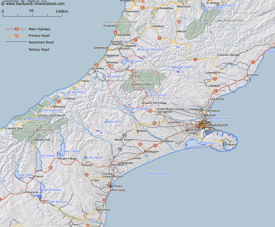
Map showing location of Temple Col


LINZ description: Between Mounts Temple and Blimit, from Mingha into the Temple Basin
Latitude: -42.905619
Longitude: 171.588817
Northing: 5248700
Easting: 1484800
Land District: Canterbury
Feat Type: Pass


Scroll down to see a more detailed road map and below that a topographical map showing the location of Temple Col. The road map has been supplied by openstreetmap and the topographical map of Temple Col has been supplied by Land Information New Zealand (LINZ).

Yes you can use the top static map for you school/university project or personal website with a link back. Contact me for any commercial use.

Temple Col Map New Zealand


New Zealand places in our database
[ A ] [ B ] [ C ] [ D ] [ E ] [ F ] [ G ] [ H ] [ I ] [ J ] [ K ] [ L ] [ M ] [ N ] [ O ] [ P ] [ Q ] [ R ] [ S ] [ T ] [ U ] [ V ] [ W ] [ X ] [ Y ] [ Z ]


Closest 20 Passs to Temple Col

Arthur's Pass ( 2.39km )   Goat Pass ( 2.99km )   Williams Saddle ( 6.43km )   Waimakariri Col ( 7.04km )   Taruahuna Pass ( 7.28km )   Tarn Col ( 7.99km )   Amber Col ( 8.26km )   Walker Pass ( 10.21km )   Bijleveld Col ( 10.23km )   Campbell Pass ( 10.79km )   Hunt Saddle ( 11.09km )   Waharoa Saddle ( 13.22km )   Kelly Saddle ( 13.42km )   Trudge Col ( 13.58km )   Harman Pass ( 14.09km )   Worsley Pass ( 15.07km )   Hura Saddle ( 16km )   Lagoon Saddle ( 16.02km )   Whitehorn Pass ( 16.65km )   Newton Saddle ( 17.14km )   Sphinx Saddle ( 17.29km )   Jordan Saddle ( 17.54km )   Goldney Saddle ( 17.56km )   Fools Col ( 17.74km )   Dunn Saddle ( 17.77km )   White Col ( 18.25km )   Popes Pass ( 18.3km )   Echo Col ( 18.43km )   Gizeh Col ( 18.59km )   Scottys Saddle ( 18.62km )   Greenlaw Col ( 18.81km )   Rover Saddle ( 19.14km )   Casey Saddle ( 19.16km )   Bruce Saddle ( 19.89km )   Kahutea Col ( 20.39km )   Browning Pass ( 20.52km )   Browning Pass/Noti Raureka ( 20.52km )   Styx Saddle ( 21.92km )   Minchin Pass ( 22.64km )   Cass Saddle ( 23.43km )