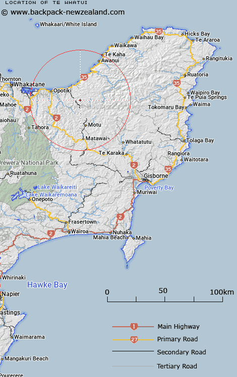
Map showing location of Te Whatui
LINZ description: Hill at height 854m, approximately 25km south-east of Opotiki. Trig. Station "Te Pakora No 2" is located on this hill
Latitude: -38.075465
Longitude: 177.508798
Northing: 5776202.6
Easting: 1995552.9
Land District: Gisborne
Feat Type: Hill
Latitude: -38.075465
Longitude: 177.508798
Northing: 5776202.6
Easting: 1995552.9
Land District: Gisborne
Feat Type: Hill

Scroll down to see a more detailed road map and below that a topographical map showing the location of Te Whatui. The road map has been supplied by openstreetmap and the topographical map of Te Whatui has been supplied by Land Information New Zealand (LINZ).
Yes you can use the top static map for you school/university project or personal website with a link back. Contact me for any commercial use.
[ A ] [ B ] [ C ] [ D ] [ E ] [ F ] [ G ] [ H ] [ I ] [ J ] [ K ] [ L ] [ M ] [ N ] [ O ] [ P ] [ Q ] [ R ] [ S ] [ T ] [ U ] [ V ] [ W ] [ X ] [ Y ] [ Z ]