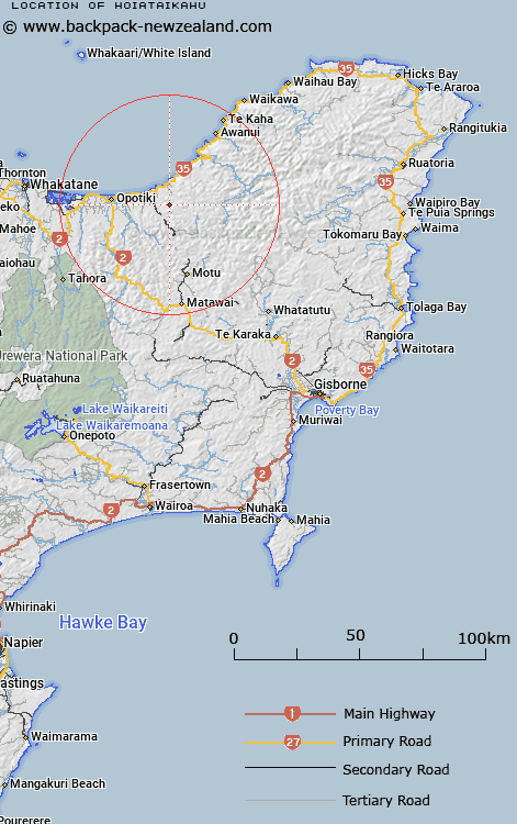
Map showing location of Hoiataikahu
LINZ description: Hill at height 650m, approximately 20km south-east of Opotiki. Trig. Station "525 Hoiataikahu" (not beaconed) is located on this hill
Latitude: -38.026508
Longitude: 177.490364
Northing: 5781717.1
Easting: 1994198
Land District: Gisborne
Feat Type: Hill
Latitude: -38.026508
Longitude: 177.490364
Northing: 5781717.1
Easting: 1994198
Land District: Gisborne
Feat Type: Hill

Scroll down to see a more detailed road map and below that a topographical map showing the location of Hoiataikahu. The road map has been supplied by openstreetmap and the topographical map of Hoiataikahu has been supplied by Land Information New Zealand (LINZ).
Yes you can use the top static map for you school/university project or personal website with a link back. Contact me for any commercial use.
[ A ] [ B ] [ C ] [ D ] [ E ] [ F ] [ G ] [ H ] [ I ] [ J ] [ K ] [ L ] [ M ] [ N ] [ O ] [ P ] [ Q ] [ R ] [ S ] [ T ] [ U ] [ V ] [ W ] [ X ] [ Y ] [ Z ]