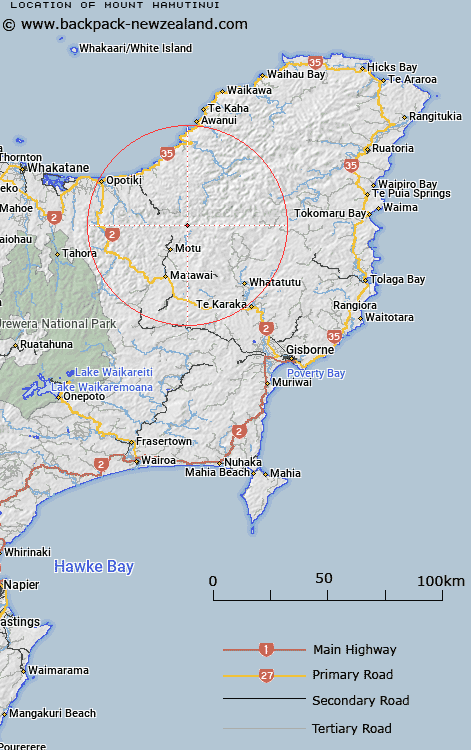
Map showing location of Mount Hamutinui
LINZ description: At 918m height Geodetic code B2A6 named 768 Hamutinui NZ Topo50 BF42 GR016648 approx 2km east of Taumahawaru adjacent to Whitikau Stream.
Latitude: -38.171251
Longitude: 177.616772
Northing: 5765100
Easting: 2004500
Land District: Gisborne
Feat Type: Hill
Latitude: -38.171251
Longitude: 177.616772
Northing: 5765100
Easting: 2004500
Land District: Gisborne
Feat Type: Hill

Scroll down to see a more detailed road map and below that a topographical map showing the location of Mount Hamutinui. The road map has been supplied by openstreetmap and the topographical map of Mount Hamutinui has been supplied by Land Information New Zealand (LINZ).
Yes you can use the top static map for you school/university project or personal website with a link back. Contact me for any commercial use.
[ A ] [ B ] [ C ] [ D ] [ E ] [ F ] [ G ] [ H ] [ I ] [ J ] [ K ] [ L ] [ M ] [ N ] [ O ] [ P ] [ Q ] [ R ] [ S ] [ T ] [ U ] [ V ] [ W ] [ X ] [ Y ] [ Z ]