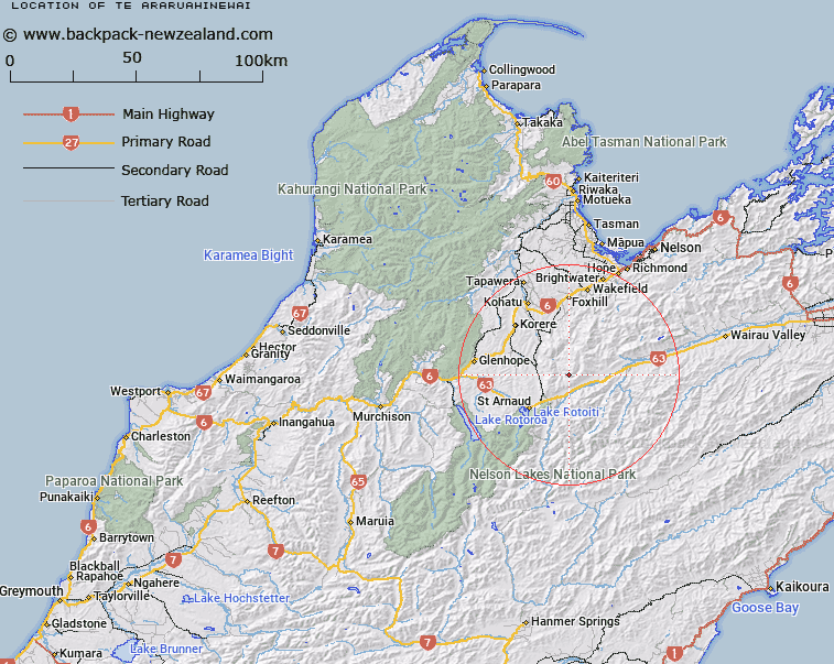
Map showing location of Te Araruahinewai
LINZ description: An historic locality at the confluence of Maitland Creek and Motueka River Right Branch approximately 9 km southeast of Kikiwa. NZTopo50-BR25 985840.
Latitude: -41.694932
Longitude: 172.982189
Northing: 5384094.1
Easting: 1598517.9
Land District: Nelson
Feat Type: Locality
Latitude: -41.694932
Longitude: 172.982189
Northing: 5384094.1
Easting: 1598517.9
Land District: Nelson
Feat Type: Locality

Scroll down to see a more detailed road map and below that a topographical map showing the location of Te Araruahinewai. The road map has been supplied by openstreetmap and the topographical map of Te Araruahinewai has been supplied by Land Information New Zealand (LINZ).
Yes you can use the top static map for you school/university project or personal website with a link back. Contact me for any commercial use.
[ A ] [ B ] [ C ] [ D ] [ E ] [ F ] [ G ] [ H ] [ I ] [ J ] [ K ] [ L ] [ M ] [ N ] [ O ] [ P ] [ Q ] [ R ] [ S ] [ T ] [ U ] [ V ] [ W ] [ X ] [ Y ] [ Z ]