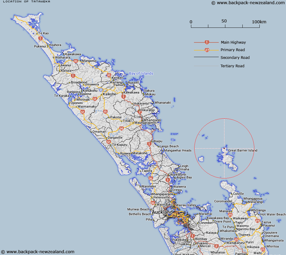
Map showing location of Tataweka


LINZ description: The highest point at the northern end of Great Barrier Island (Aotea Island). Feature shown on NZMS 260 S08-T08; NZTopo50-AY34 142055
Latitude: -36.070995
Longitude: 175.378445
Northing: 6005558.6
Easting: 1814190.4
Land District: North Auckland
Feat Type: Hill


Scroll down to see a more detailed road map and below that a topographical map showing the location of Tataweka. The road map has been supplied by openstreetmap and the topographical map of Tataweka has been supplied by Land Information New Zealand (LINZ).

Yes you can use the top static map for you school/university project or personal website with a link back. Contact me for any commercial use.

Tataweka Map New Zealand


New Zealand places in our database
[ A ] [ B ] [ C ] [ D ] [ E ] [ F ] [ G ] [ H ] [ I ] [ J ] [ K ] [ L ] [ M ] [ N ] [ O ] [ P ] [ Q ] [ R ] [ S ] [ T ] [ U ] [ V ] [ W ] [ X ] [ Y ] [ Z ]


Closest 20 Hills to Tataweka

Moors Peak ( 8.22km )   Te Heruheru ( 8.31km )   Mohunga ( 8.68km )   Tree Peak ( 9.85km )   Whangapoua ( 9.97km )   Mount Overlook ( 11.41km )   Komahunga ( 11.46km )   Coopers Castle ( 11.7km )   The Pinnacle ( 11.95km )   Mitre Peak ( 13.02km )   Mount Hobson ( 13.18km )   Mount Heale ( 13.68km )   Mount Matawhero ( 14.88km )   Mount Young ( 14.94km )   Castle Peak ( 15.85km )   Maungapiko ( 16.17km )   Walter Hill ( 17.29km )   Whangaparapara ( 18.15km )   Te Ahumata ( 19.42km )   Okupu ( 22.16km )   The Sugar Loaf ( 23.17km )   Grand View ( 23.27km )   Goat Hill ( 24.93km )   Needle Rocks ( 25.65km )   Oruawharo ( 26.22km )   Raihoa ( 26.92km )   Mount Ngarahu ( 28.95km )   Mount Orau ( 29.12km )   Windy Hill ( 29.28km )   Mount Orotere ( 29.38km )   Mount Kiriraukawa ( 29.7km )   Mount Whekauwhekau ( 29.72km )   Mount Hauruia/Bald Rock ( 29.97km )   Mount Hauturu ( 30.35km )   Mount Ohakiri ( 30.4km )   Mount Herekohu ( 30.82km )   Wharekaiatua ( 44.65km )   Sugar Loaf ( 44.71km )   Moehau ( 52.21km )   Puroa ( 53.71km )