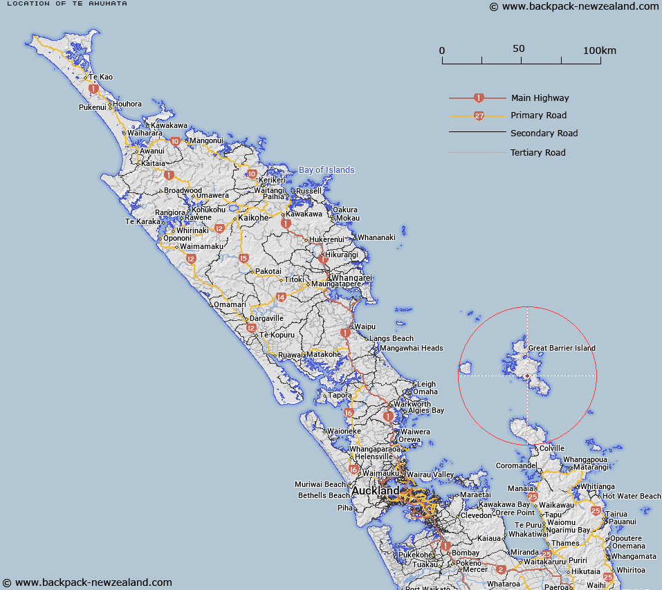
Map showing location of Te Ahumata
LINZ description: A hill 398m in height located on Great Barrier Island (Aotea Island) approximately 3.5km north-west of Claris (locality and aerodrome) and 2km north of Okupu (locality). At the summit of the hill is a beaconed geodetic mark A74W. Feature shown on: NZMS260 S09 Edition 1 1983
Latitude: -36.241333
Longitude: 175.426056
Northing: 5986554
Easting: 1818006.3
Land District: North Auckland
Feat Type: Hill
Latitude: -36.241333
Longitude: 175.426056
Northing: 5986554
Easting: 1818006.3
Land District: North Auckland
Feat Type: Hill

Scroll down to see a more detailed road map and below that a topographical map showing the location of Te Ahumata. The road map has been supplied by openstreetmap and the topographical map of Te Ahumata has been supplied by Land Information New Zealand (LINZ).
Yes you can use the top static map for you school/university project or personal website with a link back. Contact me for any commercial use.
[ A ] [ B ] [ C ] [ D ] [ E ] [ F ] [ G ] [ H ] [ I ] [ J ] [ K ] [ L ] [ M ] [ N ] [ O ] [ P ] [ Q ] [ R ] [ S ] [ T ] [ U ] [ V ] [ W ] [ X ] [ Y ] [ Z ]