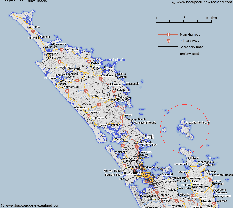
Map showing location of Mount Hobson
LINZ description: A hill on Great Barrier Island (Aotea Island), which at 627m is the highest point on the island. A geodetic mark named Hirakimata No 2 (code A74J) is at the summit of the hill.
Latitude: -36.18627
Longitude: 175.412652
Northing: 5992693.4
Easting: 1816953.7
Land District: North Auckland
Feat Type: Hill
Latitude: -36.18627
Longitude: 175.412652
Northing: 5992693.4
Easting: 1816953.7
Land District: North Auckland
Feat Type: Hill

Scroll down to see a more detailed road map and below that a topographical map showing the location of Mount Hobson. The road map has been supplied by openstreetmap and the topographical map of Mount Hobson has been supplied by Land Information New Zealand (LINZ).
Yes you can use the top static map for you school/university project or personal website with a link back. Contact me for any commercial use.
[ A ] [ B ] [ C ] [ D ] [ E ] [ F ] [ G ] [ H ] [ I ] [ J ] [ K ] [ L ] [ M ] [ N ] [ O ] [ P ] [ Q ] [ R ] [ S ] [ T ] [ U ] [ V ] [ W ] [ X ] [ Y ] [ Z ]