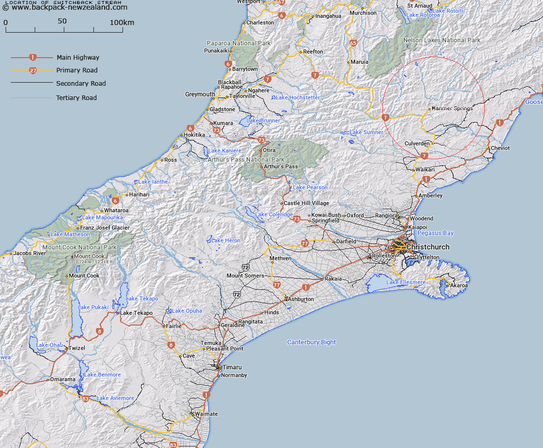
Map showing location of Switchback Stream


LINZ description: A stream flowing past Hanmer forestry camp.
Latitude: -42.517618
Longitude: 172.861332
Northing: 5292741.4
Easting: 1588609.4
Land District: Canterbury
Feat Type: Stream


Scroll down to see a more detailed road map and below that a topographical map showing the location of Switchback Stream. The road map has been supplied by openstreetmap and the topographical map of Switchback Stream has been supplied by Land Information New Zealand (LINZ).

Yes you can use the top static map for you school/university project or personal website with a link back. Contact me for any commercial use.

Switchback Stream Map New Zealand


New Zealand places in our database
[ A ] [ B ] [ C ] [ D ] [ E ] [ F ] [ G ] [ H ] [ I ] [ J ] [ K ] [ L ] [ M ] [ N ] [ O ] [ P ] [ Q ] [ R ] [ S ] [ T ] [ U ] [ V ] [ W ] [ X ] [ Y ] [ Z ]


Closest 20 Streams to Switchback Stream

Dog Stream ( 2.96km )   Chatterton River ( 5.27km )   Pass Stream ( 6.11km )   Boundary Stream ( 6.3km )   Dillons Stream ( 7.29km )   Percival River ( 7.96km )   Glenartney Stream ( 9.66km )   Waiau River ( 9.76km )   Waiau Uwha River ( 9.76km )   Rogerson River ( 10.95km )   Styx River ( 11.13km )   Home Stream ( 11.25km )   Little Lottery River ( 11.3km )   The Ribble ( 11.4km )   Hanmer River ( 11.72km )   Broom Stream ( 11.93km )   Sweetwater Stream ( 12.24km )   Camp Creek ( 12.34km )   Greenstone Stream ( 12.47km )   Ship Spur Stream ( 12.47km )   Lyndon Stream ( 12.81km )   Pass Stream ( 12.96km )   Camp Stream ( 13.12km )   Blind Stream ( 13.55km )   Waterfall Stream ( 13.59km )   Longford Stream ( 13.81km )   Counting Stream ( 14.06km )   Grantham River ( 14.2km )   Ribbon Stream ( 14.43km )   Waterfall Stream ( 14.74km )   Haliwai Stream ( 14.75km )   Glenallan Stream ( 15.5km )   Dons Fan ( 15.57km )   Bunkers Stream ( 15.66km )   Bullock Stream ( 15.69km )   D.W. Stream ( 15.71km )   Leslie Stream ( 16.61km )   Handyside Stream ( 17.29km )   Dorns Stream ( 17.29km )   Red Hill Stream ( 17.36km )