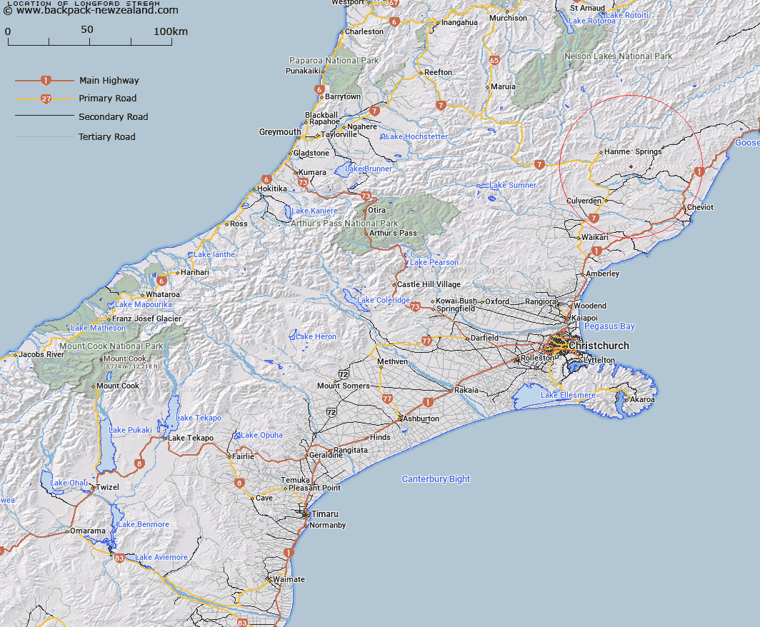
Map showing location of Longford Stream
LINZ description: Left bank tributary of Waiau River flowing South-eastwardfrom the South side of One Tree Saddle 1km south-west of Mount Paul [Trig. Z (Geodetic Code A8C0)] in the Amuri Range, and joining Waiau River North-west of Waiau township. Blocks VIII and XII Lyndon, and Block IX Waiau Survey Districts.
Latitude: -42.597888
Longitude: 172.990051
Northing: 5283837.4
Easting: 1599183.8
Land District: Canterbury
Feat Type: Stream
Latitude: -42.597888
Longitude: 172.990051
Northing: 5283837.4
Easting: 1599183.8
Land District: Canterbury
Feat Type: Stream

Scroll down to see a more detailed road map and below that a topographical map showing the location of Longford Stream. The road map has been supplied by openstreetmap and the topographical map of Longford Stream has been supplied by Land Information New Zealand (LINZ).
Yes you can use the top static map for you school/university project or personal website with a link back. Contact me for any commercial use.
[ A ] [ B ] [ C ] [ D ] [ E ] [ F ] [ G ] [ H ] [ I ] [ J ] [ K ] [ L ] [ M ] [ N ] [ O ] [ P ] [ Q ] [ R ] [ S ] [ T ] [ U ] [ V ] [ W ] [ X ] [ Y ] [ Z ]