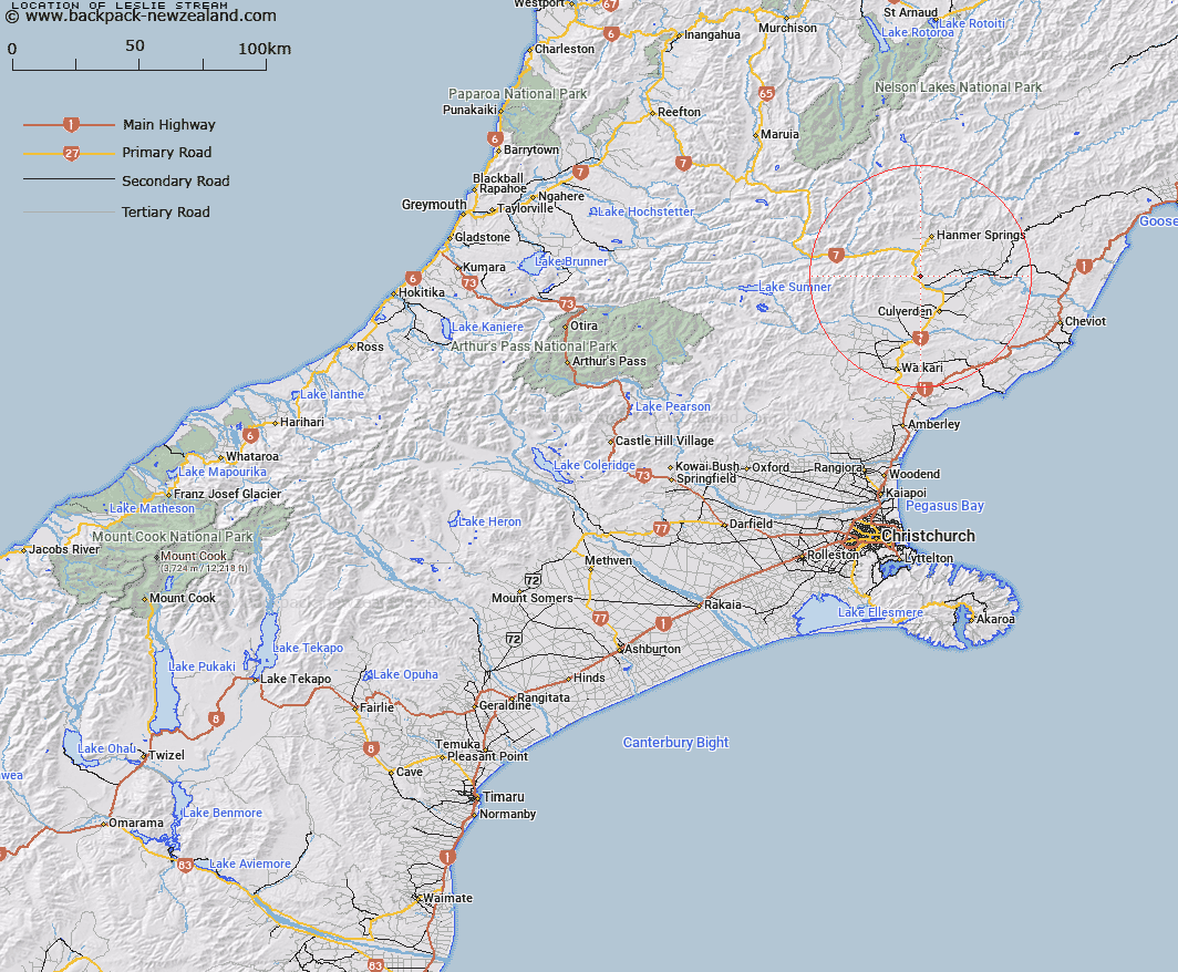
Map showing location of Leslie Stream
LINZ description: Left bank tributary of Waiau River flowing South-westward from the South side of Leslie Pass, 2.3km West South-west of Mount Leslie, and joining Waiau River 1.75km north north-west of Montrose hill [Trig. V (Geodetic Code A8D6)]. Blocks X, XIII and XIV Lyndon Survey District.
Latitude: -42.65813
Longitude: 172.79238
Northing: 5277127.2
Easting: 1582983.7
Land District: Canterbury
Feat Type: Stream
Latitude: -42.65813
Longitude: 172.79238
Northing: 5277127.2
Easting: 1582983.7
Land District: Canterbury
Feat Type: Stream

Scroll down to see a more detailed road map and below that a topographical map showing the location of Leslie Stream. The road map has been supplied by openstreetmap and the topographical map of Leslie Stream has been supplied by Land Information New Zealand (LINZ).
Yes you can use the top static map for you school/university project or personal website with a link back. Contact me for any commercial use.
[ A ] [ B ] [ C ] [ D ] [ E ] [ F ] [ G ] [ H ] [ I ] [ J ] [ K ] [ L ] [ M ] [ N ] [ O ] [ P ] [ Q ] [ R ] [ S ] [ T ] [ U ] [ V ] [ W ] [ X ] [ Y ] [ Z ]