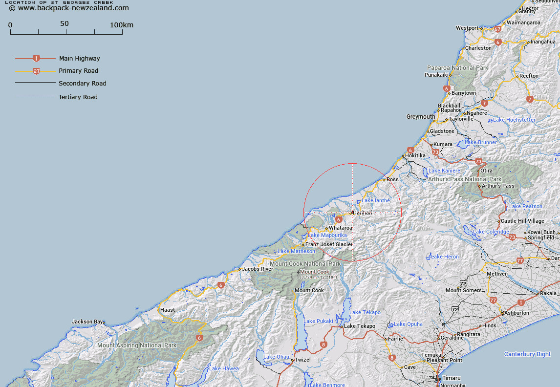
Map showing location of St Georges Creek
LINZ description: Right bank tributary of La Fontaine Stream in the Harihari area, flowing North-westward across the plain North and East of Harihari, and joining La Fontaine Stream at Topo50 grid reference BW17 009233. Becomes Harold Creek at it's headwaters. Blocks I and II Poerua Survey District.
Latitude: -43.140961
Longitude: 170.569493
Northing: 5220664
Easting: 1402342.9
Land District: Westland
Feat Type: Stream
Latitude: -43.140961
Longitude: 170.569493
Northing: 5220664
Easting: 1402342.9
Land District: Westland
Feat Type: Stream

Scroll down to see a more detailed road map and below that a topographical map showing the location of St Georges Creek. The road map has been supplied by openstreetmap and the topographical map of St Georges Creek has been supplied by Land Information New Zealand (LINZ).
Yes you can use the top static map for you school/university project or personal website with a link back. Contact me for any commercial use.
[ A ] [ B ] [ C ] [ D ] [ E ] [ F ] [ G ] [ H ] [ I ] [ J ] [ K ] [ L ] [ M ] [ N ] [ O ] [ P ] [ Q ] [ R ] [ S ] [ T ] [ U ] [ V ] [ W ] [ X ] [ Y ] [ Z ]