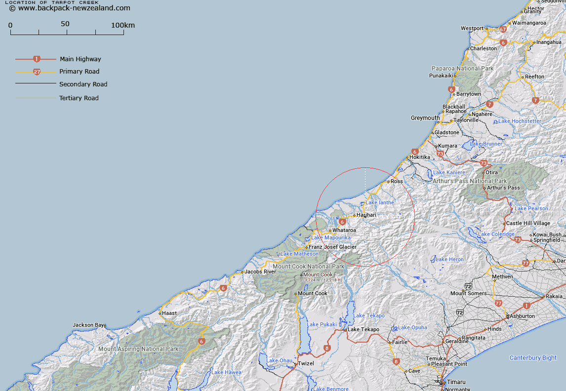
Map showing location of Tarpot Creek
LINZ description: Small right bank tributary of the upper Wanganui River (South Island), rising 2.25km North-east of Bryan Hill, flowing westward and joining Wanganui River 600m South of the Main Highway 6 bridge. Block XI Mount Bonar Survey District.
Latitude: -43.159523
Longitude: 170.636941
Northing: 5218759.5
Easting: 1407886.4
Land District: Westland
Feat Type: Stream
Latitude: -43.159523
Longitude: 170.636941
Northing: 5218759.5
Easting: 1407886.4
Land District: Westland
Feat Type: Stream

Scroll down to see a more detailed road map and below that a topographical map showing the location of Tarpot Creek. The road map has been supplied by openstreetmap and the topographical map of Tarpot Creek has been supplied by Land Information New Zealand (LINZ).
Yes you can use the top static map for you school/university project or personal website with a link back. Contact me for any commercial use.
[ A ] [ B ] [ C ] [ D ] [ E ] [ F ] [ G ] [ H ] [ I ] [ J ] [ K ] [ L ] [ M ] [ N ] [ O ] [ P ] [ Q ] [ R ] [ S ] [ T ] [ U ] [ V ] [ W ] [ X ] [ Y ] [ Z ]