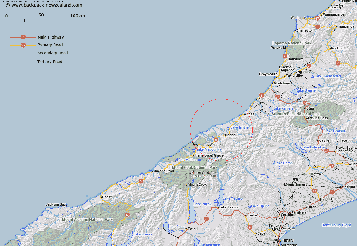
Map showing location of Wingham Creek
LINZ description: Left bank tributary of La Fontaine Stream rising 1.3km North of Trig. GD (Geodetic Code B2NX), flowing North-westward along the foothills South-west of La Fontaine Road, and joining La Fontaine Stream 1.6km from the Wanganui River. Block XIII Wanganui Survey District.
Latitude: -43.081352
Longitude: 170.525335
Northing: 5227178.8
Easting: 1398556.2
Land District: Westland
Feat Type: Stream
Latitude: -43.081352
Longitude: 170.525335
Northing: 5227178.8
Easting: 1398556.2
Land District: Westland
Feat Type: Stream

Scroll down to see a more detailed road map and below that a topographical map showing the location of Wingham Creek. The road map has been supplied by openstreetmap and the topographical map of Wingham Creek has been supplied by Land Information New Zealand (LINZ).
Yes you can use the top static map for you school/university project or personal website with a link back. Contact me for any commercial use.
[ A ] [ B ] [ C ] [ D ] [ E ] [ F ] [ G ] [ H ] [ I ] [ J ] [ K ] [ L ] [ M ] [ N ] [ O ] [ P ] [ Q ] [ R ] [ S ] [ T ] [ U ] [ V ] [ W ] [ X ] [ Y ] [ Z ]