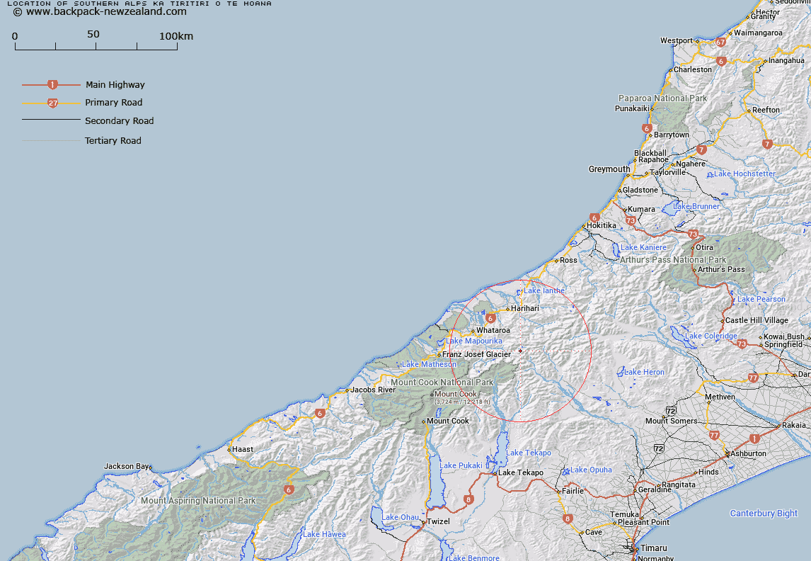
Map showing location of Southern Alps/Kā Tiritiri o te Moana
LINZ description: Feature shown on: NZMS260-F39 744444; Infomap 346-02 Te Wai Pounamu Edition 1 1995; NZTopo50-BW17 075958
Latitude: -43.365296
Longitude: 170.624331
Northing: 5195877.4
Easting: 1407511
Land District: Westland, Canterbury, Nelson, Otago
Feat Type: Range
Latitude: -43.365296
Longitude: 170.624331
Northing: 5195877.4
Easting: 1407511
Land District: Westland, Canterbury, Nelson, Otago
Feat Type: Range

Scroll down to see a more detailed road map and below that a topographical map showing the location of Southern Alps/Kā Tiritiri o te Moana. The road map has been supplied by openstreetmap and the topographical map of Southern Alps/Kā Tiritiri o te Moana has been supplied by Land Information New Zealand (LINZ).
Yes you can use the top static map for you school/university project or personal website with a link back. Contact me for any commercial use.
[ A ] [ B ] [ C ] [ D ] [ E ] [ F ] [ G ] [ H ] [ I ] [ J ] [ K ] [ L ] [ M ] [ N ] [ O ] [ P ] [ Q ] [ R ] [ S ] [ T ] [ U ] [ V ] [ W ] [ X ] [ Y ] [ Z ]